Over 100 million at risk for daily severe storms, drenching rain early this week
Dozens of states east of the Rockies, especially across the southern U.S., will have to contend with a daily barrage of dangerous thunderstorms through the first full weekend of June and beyond.
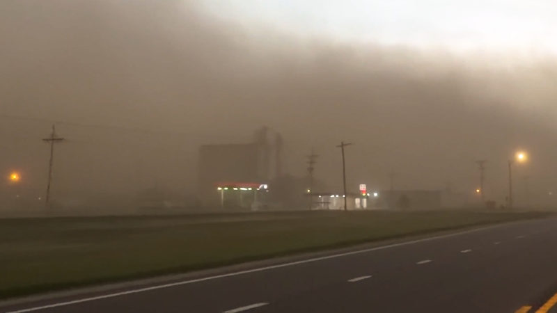
AccuWeather’s Tony Laubach reports from Oklahoma with an update on where more severe weather is starting to form.
A recent spate of severe weather to begin the month of June will persist for several more days. The storms are expected to impact an area encompassing over 100 million people east of the Rockies, peaking with an extreme risk for severe weather on Sunday, warn AccuWeather meteorologists.
The storminess, fueled mostly by hot summertime air, has led to hundreds of reports of wind damage, large hail and even a few tornadoes since the beginning of the month, spanning dozens of states. Many of the same areas reeling from recent severe weather will have to stay alert for additional storminess through at least Monday.

"A series of low pressure areas moving into and then out of the Midwest through early [in the] week will be the impetus for the successive severe weather risks from the Plains to the Southeast," said AccuWeather Senior Meteorologist Chad Merrill.
Severe thunderstorms swept through Texas on June 6, packing strong winds, heavy rain and tornadoes.
Storms on Thursday and Friday led to reports of giant hail, hurricane-force winds and a few tornadoes across the southern Plains. Through the first half of the weekend, this dangerous weather repeated in the southern Plains, and build east across the Mississippi and Tennessee River valleys.
On Saturday into Saturday night, a swath of wind damage, mainly down trees and power lines, were reported from Arkansas to South Carolina from thunderstorms.
At least three separate areas of severe weather are forecast to develop Sunday across the Midwest, southern Plains and East. Major cities such as Atlanta, Chicago, Dallas and St. Louis are at risk for these violent storms, which can also impact air travel nationwide because of the number of busy airport hubs in these storm-affected regions.

The Red River Valley of Texas and Oklahoma appear to be at particular risk for dangerous storms to end the weekend, with AccuWeather meteorologists issuing a very rare "extreme risk" for severe storms. In this area, winds can be destructive and widespread, threatening power outages and structural damage.

"Initially, thunderstorms can quickly billow into towering supercells, posing a risk for tornadoes, large hail and damaging wind gusts late Sunday," said AccuWeather Meteorologist Brandon Buckingham. "Progressing into Sunday night, these individual [storms] can congeal into a powerful line or complex of thunderstorms which will begin to shift the primary risk toward damaging, if not devastating wind gusts."

In addition, a separate, lower risk of severe weather will extend into the Midwest for the second half of the weekend, all the way to the Great Lakes.

A separate area in the East is at risk of severe thunderstorms as well. Damaging winds are expected to be more localized in nature, but hail, flash flooding and isolated tornadoes are in the cards as well into Sunday evening.

The severe threat will not end with the weekend, as the southern Plains will be at "some risk" for gusty storms by Monday, which will be, in some locales, the fourth consecutive day with a risk for severe weather. There will also be a return engagement of gusty storms across parts of the South and East.

While wind, hail and heavy rain represent the primary threats from the storms, there have been a few tornado touchdowns over the last few days, and AccuWeather meteorologists are concerned for a few more during this episode of severe weather.
Because of the vast amount of moisture in the atmosphere, any tornado that spawns could be enveloped in heavy rain and difficult to see. These are called rain-wrapped tornadoes, and they are especially dangerous after dark.
With outdoor graduations and summer vacation plans getting underway, having a way to receive warnings both at and away from home or work will be important over the next few days. The AccuWeather App offers push notifications of severe weather alerts so you can take quick action in the event of storms.
Want next-level safety, ad-free? Unlock advanced, hyperlocal severe weather alerts when you subscribe to Premium+ on the AccuWeather app. AccuWeather Alerts™ are prompted by our expert meteorologists who monitor and analyze dangerous weather risks 24/7 to keep you and your family safer.
Report a Typo