Hazy sky to persist as Canadian wildfire smoke and Saharan dust invade US
More smoke and dust are ahead for the northern, eastern and southern states into mid-June, as AccuWeather meteorologists continue to track Canadian wildfires and dust sweeping in from Africa.
Dry weather has contributed to the hundreds of wildfires burning in western Canada. Awa Cissé of the Canadian Interagency Forest Fire Centre shares how the country is responding to the fires.
The haze is here to stay. Rounds of smoke from hundreds of Canadian wildfires, as well as dust blowing off Sub-Saharan Africa, will continue to envelop portions of the United States into the summer, say AccuWeather meteorologists.
Recent rounds of smoke blowing across the northern and eastern U.S. over the last week resulted in a hazy sky, poor air quality and vibrant sunrises and sunsets. While the thickest smoke has mostly retreated back into Canada, additional episodes are expected through the summer, with the first expected early this week.

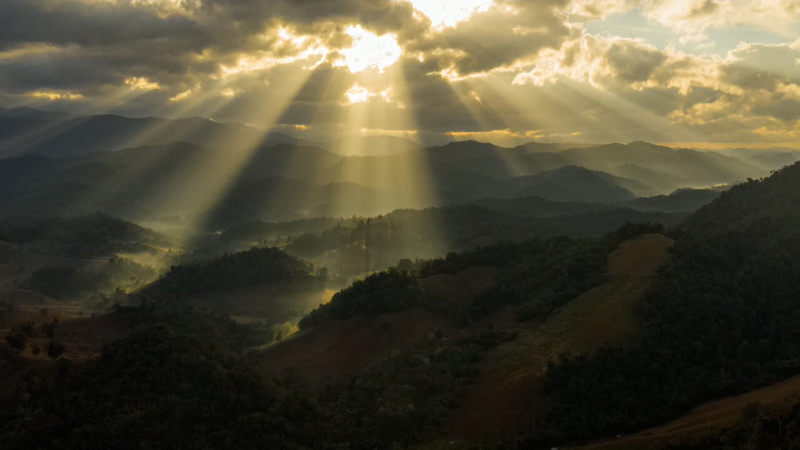
A person watches the sunset, reddened by smoke from distance wildfires, from a park Sunday, June 1, 2025, in Kansas City, Mo. (AP Photo/Charlie Riedel)
Meanwhile, the Saharan dust will result in similar effects in the South, mostly in Florida and areas surrounding the Gulf and southwestern Atlantic. A recent round of dust blowing off of Africa will also have the effect of putting a temporary lid on potential tropical development.
A cycle of smoke from Canadian wildfires
The 2025 Canadian wildfire season is off to a quick start, and the result has been plumes of thick smoke pouring into the U.S. since May. Because of how Canada manages these fires, mostly burning unabated in unpopulated areas, the smoke will continue to flow south in cycles through the summer, warn AccuWeather meteorologists.
According to data released by the Canadian government last week, over 1,700 fires have burned so far in the country. While this number is not unusual, the size of the fires has been, covering an area that's over 360 percent of the historical average for this time of year, mostly in the prairies of central Canada.

Over the last week, plumes of smoke dimmed the sky and led to poor air quality in Midwestern locales before heading south and east. That smoke has now mostly retreated or dissipated from the lower 48 states.
"Pockets of smoke and haze are expected to hover over portions of the Upper Midwest and Great Lakes this weekend," said AccuWeather Meteorologist Brandon Buckingham. "However, the density and overall aerial coverage of the smoke will continue to decrease."
Multiple storms moving across the Midwest and East—in association with clouds, rain and changes in the wind direction—have led, and will continue to lead, to the dissipation of smoke in many areas. However, this break from the smoky conditions will be fleeting.
"On Monday, a cold front diving out of Canada is expected to bring a resurgence of smoky skies," said Buckingham. "This will likely target many of the same areas that experienced smoky skies this past week, especially across the northern Plains and Midwest."
Where the smoke is thickest in the upper Midwest, the air quality can suffer, resulting in hazardous conditions, especially for susceptible populations such as the elderly and those with respiratory ailments. By the time the smoke moves east later this week, that concern will lessen.

"Hazy skies from upper-atmosphere smoke can potentially spread across the Southeast, mid-Atlantic and Northeast by the middle and end of [this] week," added Buckingham.
The smoky start to the warm months has many recalling the thick smoke that invaded Midwestern and Northeastern cities in 2023, which ended up being Canada's most destructive wildfire season.
Saharan dust to put a lid on tropical activity in the Atlantic
While wildfire smoke will continue to intrude from the north this summer, rounds of dust blowing off Africa may impact the southern U.S., say AccuWeather experts.
"Another large round of dust is moving off Africa now," said AccuWeather Lead Hurricane Forecaster Alex DaSilva on Thursday. "It is expected to reach the Lesser Antilles beginning late this weekend, and perhaps Florida by the end of this week."
AccuWeather’s Melissa Constanzer explains how dust from the Sahara Desert in Africa impacts tropical development during the Atlantic hurricane season, disrupting the process with dry and dusty air.
Unlike with thick wildfire smoke plumes, the Saharan dust will remain mostly in the upper atmosphere, because of the great distance of thousands of miles it must travel to reach the U.S. Because of that, poor air quality is not anticipated in either the Caribbean or Southeast, though some of the dust can mix with rain from thunderstorms, leaving what appears to be dirty spots on cars and other objects.
The dust can have an effect of quelling potential tropical development, however.

"This dust will likely prevent anything from forming across most of the Atlantic tropical basin over the next few weeks," pointed out DaSilva. "The only areas that can see a risk of development will be across the western Caribbean or in the Gulf."
The Eastern Pacific basin, devoid of any smoke or dust, has seen a recent flurry in tropical activity that will continue through the week.
AccuWeather meteorologists are currently highlighting a low risk for tropical development in that area through mid-June. The hurricane season as a whole, which runs through Nov. 30, is expected to be an active one, especially after Saharan dust subsides.
Want next-level safety, ad-free? Unlock advanced, hyperlocal severe weather alerts when you subscribe to Premium+ on the AccuWeather app. AccuWeather Alerts™ are prompted by our expert meteorologists who monitor and analyze dangerous weather risks 24/7 to keep you and your family safer.
Report a Typo