Storms line up to revive California's winter
After quite the lull over the last month, a pattern flip will take place along the West Coast early this week, as storms bring in periods of rain, showers and even feet of mountain snow for some.
A surfer was rescued near Goleta, California, on Feb. 6 after high surf swept him offshore. He clung to a lobster trap buoy until firefighters located him with drones and brought him safely ashore.
As winter storms have plagued other parts of the country since the start of 2026, much of the West, from the Rockies westward, has experienced a notably subdued pattern in recent weeks. At the same time, parts of the East are getting one of their most active winters in roughly five years. This imbalance is evident at ski resorts across the country, with snowpack in New England resorts near 130% of normal, while many California resorts remain below 40% of average.
An extended dry stretch coming to an end
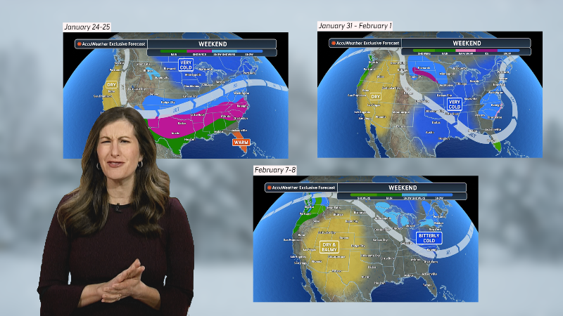
A northward bend in the jet stream has ushered in moderate temperatures and generally dry air masses into California, Arizona, Nevada and surrounding states over the last month or so. Storm activity has proved to be lacking under this regime.
California cities such as San Francisco, Redding, Fresno and Los Angeles have recorded temperature departures between 2-4 degrees above historical averages since the start of the year. For many locations, rainfall totals since Jan. 1 are running behind, ranging between 30-55% of their typical norm by this point in the year.

“A high pressure system has been parked over California for the last month. This has kept rain and snow primarily over the Pacific Northwest and British Columbia from much of January through the beginning of February, while California remained warm and dry,” noted AccuWeather Meteorologist Kai Kerkow.
Forecasters note that a gradual shift in the large-scale weather pattern over the coming weeks will signal the arrival of chillier air and waves of rain and mountain snow. Given the dry pattern recently, any precipitation can be a welcome change for most locations, particularly the area ski resorts in need of snow.
“This weather pattern is beginning to change as the high pressure begins to weaken, allowing for a more active pattern as we move into the middle of February. This change in the pattern will be beneficial for California’s snowpack and reservoirs, as the snowpack is running well below average across much of the state," added Kerkow.
As a storm advances inland through Wednesday, periods of rain and mountain snow will impact a wider swath than observed over the weekend, including some big cities and heavily traveled roadways.
Any rain after an extended dry period can lead to slick roads. Enough rain may fall to lead to localized minor urban flooding.

Gusty winds and mountain snow
Across the Sierra Nevada, accumulating snow is expected early this week due to cooler conditions sweeping into the region. Snow levels rapidly declined Tuesday, with high temperatures barely reaching above the freezing mark at Donner Pass.
"Any travelers along Interstate 80 in the mountainous terrain may need to exercise caution through Wednesday, especially through Donner Pass. Snow levels are expected to decline, allowing for several inches of accumulation that can result in dangerous driving conditions," stated AccuWeather Meteorologist Alex DaSilva.
Early to midweek, wind gusts of 35-40 mph along portions of I-80 could create hazardous travel conditions. High-profile vehicles may struggle at times, and when combined with snowfall, the strong winds can rapidly reduce visibility due to blowing snow.

While the pattern may let up in California later this week, additional storm opportunities will arise by this weekend and into late February.
Want next-level safety, ad-free? Unlock advanced, hyperlocal severe weather alerts when you subscribe to Premium+ on the AccuWeather app. AccuWeather Alerts™ are prompted by our expert meteorologists who monitor and analyze dangerous weather risks 24/7 to keep you and your family safer.
Report a Typo


