Severe weather to keep pounding mid-Atlantic, Ohio Valley into Thursday
Rounds of severe weather will continue to target the corridor from the Ohio Valley to the mid-Atlantic through Thursday. Tornadoes are among the dangers.
Along the northern fringe of the heat baking the Southeast, severe thunderstorms will keep erupting across the mid-Atlantic and parts of the Ohio Valley into Wednesday evening and then again later on Thursday.
"The states of Ohio, Pennsylvania, West Virginia, Maryland and New Jersey will continue to have the highest risk for damaging thunderstorms and even a tornado," according to AccuWeather Senior Meteorologist Brett Anderson.
Hail as large as the size of limes slammed southeastern Pennsylvania, near Allentown, on Wednesday afternoon. Several tornado warnings were issued across the state, but no tornadoes have been confirmed as of Wednesday evening.
The risk area into Wednesday evening encompasses New York City, threatening to spoil those hoping to view the first night of Manhattanhenge.
"The thunderstorms may move over the same areas during an extended period of time (training storms), further increasing the risk for urban and flash flooding," according to Anderson.
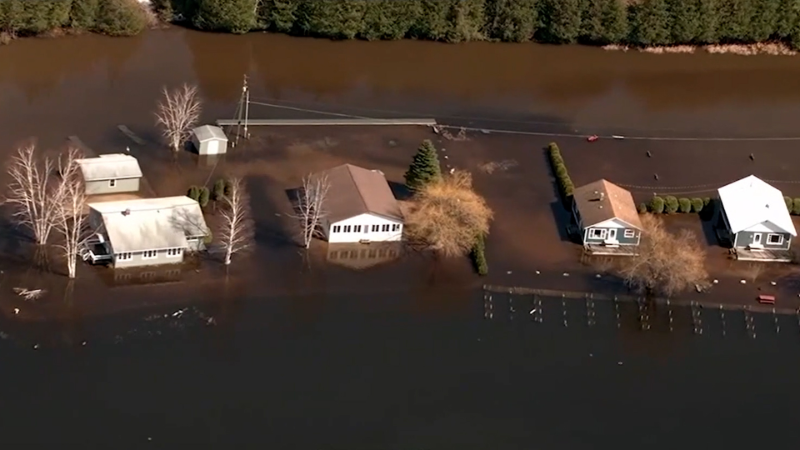
The ground is already saturated and streams are running high following what has become a wet May in many areas.
Over 4.5 inches of rain fell in some of the northern suburbs of Pittsburgh from Tuesday afternoon into Tuesday night as thunderstorms moved repeatedly over the same area.

Many of the same areas facing severe weather into Wednesday evening will be at risk again Thursday afternoon and evening.
Columbus, Ohio; Pittsburgh, Harrisburg and Philadelphia, Pennsylvania; Morgantown, West Virginia; Baltimore and Washington, D.C.; are among the cities facing more severe weather on Thursday after being threatened on Wednesday.
The worst of the severe weather in terms of damaging winds may remain south of Interstate 80, including New York City, on Thursday afternoon and evening. However, these areas can still be subject to flooding downpours and poor travel conditions.
Even in the absence of flash flooding, motorists on stretches of interstates 64, 68, 70, 76, 80, 81, 95 and 99 can face poor visibility and the risk of hydroplaning.
"These thunderstorm complexes may also produce thousands of cloud-to-ground lightning strikes as they race eastward through the region," Anderson said. "Residents should be prepared for power outages due to the lightning and powerful straight-line wind gusts."
There can be more incidents of hail pounding more communities.

The stormy weather pattern will continue to plague farmers, construction crews and sporting events. Baseball games in Philadelphia, Baltimore, Pittsburgh and New York City can be subject to delays and/or postponements into Thursday.
Download the free AccuWeather app to keep track of the latest severe weather alerts in your area. Keep checking back for updates on AccuWeather.com and stay tuned to the AccuWeather Network on DirecTV, Frontier and Verizon Fios.

Wednesday is marking the second of three consecutive days of severe weather threatening the Ohio Valley and mid-Atlantic.
The first round of severe weather erupted over western Pennsylvania around 2:30 p.m. EDT Tuesday with one storm hammering the town of Stoneboro with hail nearly as large as tennis balls, according to trained spotters in the area. Large hail was also reported in Kittanning and Selinsgrove, Pennsylvania.
An EF2 tornado was confirmed in Morgantown, Pennsylvania, on Tuesday evening based on video evidence of the tornado on the ground. Fortunately, no injuries have been reported, but many homes have been damaged.
Storm survey teams from the National Weather Service office in Mount Holly, New Jersey, also determined that damage in Stanhope, New Jersey, in Sussex County, was caused by an EF1 tornado. More precise details are still being determined.
The temperature contrast across the eastern United States will continue to fuel the severe weather into Thursday.
"Parts of the Ohio Valley and mid-Atlantic will be stuck in the battle zone between extreme heat in the Southeast and cooler air in the Northeast," according to Anderson.
Temperatures will soar from the upper 90s in Richmond, Virginia, to near 90 in Washington, D.C., and Philadelphia on Thursday. Sweltering humidity will create even higher AccuWeather RealFeel® Temperatures.
At the same time, highs in the 60s and lower 70s will be more common across New York state and New England on Thursday.

Another round of showers and thunderstorms will target areas from the upper Ohio Valley to Virginia on Friday as a pleasant day unfolds farther north.
While more showers and thunderstorms may return this weekend, there are signs that next week may be drier with less frequent bouts of showers and thunderstorms.


