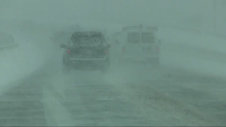
Snow and Ice Outlook
Snow
Ice
A coating to an inch
Snow
Started
Start
2:00 PM
Friday, 12/26
End
7:00 AM
Saturday, 12/27
Snowfall Amount Probability
0.50 - 1.00 in
Ice
Started
Start
7:00 PM
Friday, 12/26
End
1:00 PM
Saturday, 12/27
Ice Amount Probability
Live Blog
Rainbow adds "wonderful surprise" to San Francisco skyline
Latest Entry
Colorful Rainbow adds to Golden Gate Bridge beauty
2 weeks ago
EXPERT FORECAST NEW
Updated December 26, 2025
Philadelphia: Accumulating snow, ice coming Friday
A storm forecast to bring a moderate to heavy snowfall to parts of New York state, northeastern Pennsylvania, northern New Jersey and southern New England will affect the Philadelphia area through Friday night. Following a brief period of snow and some accumulation, especially in the northern suburbs, the storm should bring precipitation primarily in the form of sleet and freezing rain. This ice can lead to slippery travel through early Saturday morning, especially on untreated surfaces.
Snowfall Accumulation
Ice Accumulation
Temperature and Wind
Risk to Life and Property
Rainfall
Max Sustained Winds
Max Wind Gusts
Storm Surge
Total snow accumulation
> 24in
> 1.2in
All values are displayed in Fahrenheit. Click on a point for location details.
Temperature
-50°F
-20°
10°
40°
70°
100°
130°F
Wind (mph)
<20
20
30
40
50
60
70
>70
Today's Lifestyle Forecast
Snow Day Forecast
Find out how likely school facilities may be closed, due to inclement weather.
Oreland, PA
19075
Latest in Winter Weather
See More