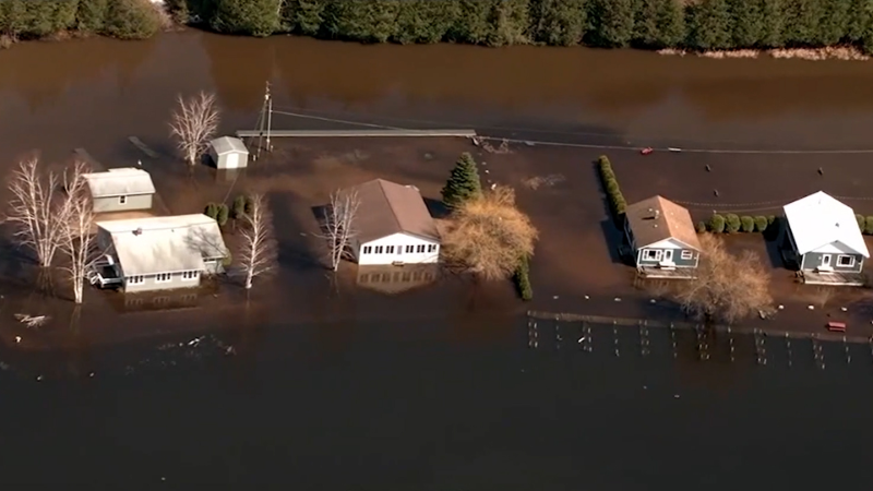
Flooding threat to shift eastward across the South
Hours of relentless heavy rain in Dallas, Texas, is leading to dangerous flash flooding and rescues. AccuWeather’s Bill Wadell reports from north Texas.
Heavy rain wreaked havoc and set records Monday around the Dallas area as more than 9 inches of rain led to widespread flooding problems in the city, with some surrounding areas inundated with more than a foot of rain over a 24-hour period. While central Texas is expected to dry out by midweek, AccuWeather forecasters say that will not be the end of the flooding story for parts of the south-central United States.
"The hardest hit locations in Texas will get a break over the coming days, but the heavy rainfall will shift, bringing a continued flooding threat along with it," said AccuWeather Meteorologist Andrew Johnson-Levine.
Moist air will continue to flow northward from the Gulf of Mexico, and this abundant moisture combined with multiple rounds of showers and thunderstorms will keep the flood threat in place this week.

When multiple thunderstorms repeatedly move over the same locations, this is known as "training," forecasters say. The term comes from the fact that thunderstorms in this pattern move along the same path, just like trains on a track. This can sometimes result in one location getting several inches of rain in just a matter of an hour to two, while a location nearby may get much less.
The atmospheric setup for the storms is largely the same as the one that caused Dallas to be inundated by flooding rain late Sunday night and Monday morning.
"Through this week, the source of heavy rainfall will not change as a front remains stalled across the South and tropical moisture streams northward," said Johnson-Levine.
In the long term, this rain will be beneficial for the region. According to the United States Drought Monitor, about 60% of the south-central U.S. is in severe drought or worse. The drought monitor is updated each Thursday and may look substantially different this week with all of the rain that has fallen and what is still to come.

Heavy rain in a short period of time always raises the risk of flooding. This is especially true in cities and highly urbanized areas.
"Hard surfaces such as roadways do not allow the ground to soak in water," explained Johnson-Levine.
Much of the water runs off into streams and creeks, causing them to rise. Water also often finds its way into homes and businesses.
When water is covering a road, experts say people should find an alternate route to reach their destination. In some cases, the road underneath the water may have been washed away, making it impossible to drive through the water safely.
Where is the heaviest rain expected?
A large swath from eastern and southern Texas through much of the Southeast will be at risk for daily showers and thunderstorms through Friday. The highest flood risk is forecast for a zone from southeastern Texas through central and southern portions of Louisiana and Mississippi and much of Alabama.

This torrential downpour and flood risk include cities such as New Orleans; Jackson, Mississippi; and Montgomery, Alabama, into Wednesday night.
The threat zone will be a bit smaller Thursday and largely focused on eastern and southern Mississippi, central and southern Alabama and far western Georgia.
Locations as far east as South Carolina will face the chance of heavy rain Friday. Charleston, South Carolina, and Augusta and Savannah, Georgia, will be at risk of flooding Friday. In these areas, however, the probability of flooding will be a bit lower than in locations farther to the west Wednesday and Thursday.

By the weekend, the weather pattern should allow more typical spotty thunderstorms to occur during the afternoon. Any of those storms could contain downpours, but that is normal during the summer in the South, and any additional flooding that occurs will be on a much more localized basis.
Want next-level safety, ad-free? Unlock advanced, hyperlocal severe weather alerts when you subscribe to Premium+ on the AccuWeather app. AccuWeather Alerts™ are prompted by our expert meteorologists who monitor and analyze dangerous weather risks 24/7 to keep you and your family safer.
Report a Typo


