Warmer air accompanied by rain, ice and snow headed to Northeast
Cold that has been around since after Thanksgiving is set to ease in the Northeast, but AccuWeather forecasters say that the warmup will come with rain and the threat of wintry precipitation will not completely go away.
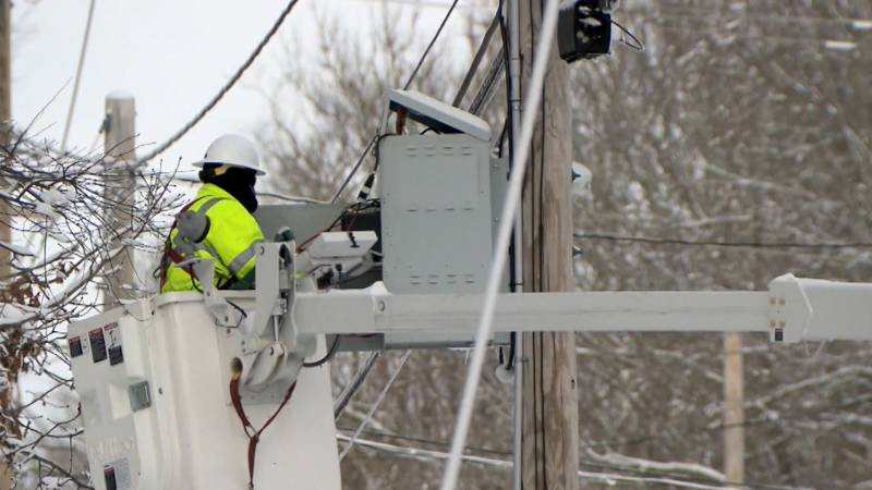
After days of wintry weather, the storm at fault had mostly dissipated, but lingering snow kept piling up in parts of Pennsylvania and New York on Dec. 6.
Residents of the Great Lakes, Northeast and mid-Atlantic have been shivering since a cold blast arrived around Thanksgiving. While a warmup may be welcome by most, it will not come without its share of problems.
If it seemed to be the coldest end of November and beginning of December in quite some time, that would be an accurate assessment. In some locations, it was the coldest in several decades. This also made some cities feel like they were in a different climate altogether.

AccuWeather meteorologists say the pattern changed this past weekend as the jet stream shifted. Arctic air retreated into Canada and northern New England, while milder air advanced eastward.

For example, Washington jumped from a high of 45 degrees Fahrenheit on Saturday to near 70 on Sunday. Daily highs early this week will continue to be in the 60s, but temperatures in the 60s will not be limited to the only Nation's Capitol.
Sunday was a soaker for some across the South and as moisture continues to flow into the area, rain is expected to continue through midweek. In fact, the rain could be heavy enough to cause ponding on streets and highways in cities such as Atlanta and New Orleans.

As this rain advances northeastward on Monday morning, some residual cold air at the low levels could cause some of the rain to freeze on surfaces. Even if temperatures are slightly above freezing, the cold ground and, in some locations, snow cover, can also cause rain to freeze on contact with the ground. This will especially be the case in the interior Northeast.
GET THE FREE ACCUWEATHER APP
• Have the app? Unlock AccuWeather Alerts™ with Premium+
"Across portions of New England and upstate New York, despite milder air trying to return from the south and southwest, the very chilly air mass will be hard to displace at the surface," explained AccuWeather Senior Meteorologist Dan Pydynowski.
"As the moist, warmer air overrides this entrenched cold air at the surfaces, there will be a threat for freezing rain and icy conditions Monday into Monday night across parts of upstate New York, Vermont and New Hampshire," cautioned Pydynowski. "This could make for difficult travel for the Monday evening and Tuesday morning commutes on roads such as interstates 87, 89 and 91.

Even where precipitation falls as all rain, places with several inches to several feet of snow on the ground will have other problems.
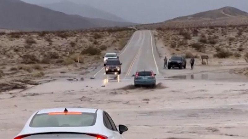
"Although rain amounts only around half of an inch are expected, there will still be a concern for standing water, ponding of water on roadways and flooding in some poor drainage areas in northeastern Ohio, northwestern Pennsylvania and western New York due to snowmelt," said Pydynowski.
By Tuesday, milder air will be more well established in the Northeast, with the exceptions of northern New England. Meanwhile, colder air will plunge southward into the Midwest on the back side of the storm.

A more powerful storm with widespread wind and rain and a brief period of rain changing to snow over the interior can arrive on Tuesday night and Wednesday.
Want next-level safety, ad-free? Unlock advanced, hyperlocal severe weather alerts when you subscribe to Premium+ on the AccuWeather app. AccuWeather Alerts™ are prompted by our expert meteorologists who monitor and analyze dangerous weather risks 24/7 to keep you and your family safer.
Report a Typo


