Flooding downpours to unfold in Northeast as Hurricane Erin spins offshore
Tropical air associated with Hurricane Erin combined with a stalled front could trigger dangerous flash flooding in parts of the Northeast at midweek.
Sam Proffitt, the Ocean Rescue and EMS Director for Wrightsville Beach, joined AccuWeather live on Aug. 19 as his team continued to rescue people from dangerous rip currents due to Hurricane Erin.
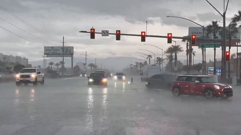
Tropical moisture sent northward by Hurricane Erin will trigger downpours that can lead to flash flooding in parts of the Appalachians and Northeast from Wednesday into Wednesday night, AccuWeather meteorologists warn.
The heaviest rain will come from a stalled weather front draped across the region, rather than directly from Hurricane Erin. A pocket a dry weather could separate the two areas of rain.
“In a worst-case scenario, several inches of rain could fall in just a few hours along the boundary of tropical moisture, leading to major flooding in urban areas and along smaller streams,” said AccuWeather Vice President of Forecasting Operations Dan DePodwin.

Rainfall rates may reach 1 to 2 inches per hour, with an AccuWeather Local StormMax™ of 8 inches expected for this event.
Should these conditions materialize, significant flash flooding could result, inundating some highways and low-lying neighborhoods with deep water, potentially stranding vehicles and severely disrupting travel.
From Wednesday into Wednesday night, the primary area of concern for heavy rainfall and localized flash flooding extends from southern New England to the upper portion of the mid-Atlantic.
Torrential downpours are expected to be highly localized, but forecasters anticipate pockets where a more concentrated swath of heavy rainfall could lead to an elevated flood risk.
The highest risk for concentrated downpours is expected from southeastern New York, Connecticut and part of Rhode Island to much of Delaware and northeastern Maryland. The threat zone includes the extremely busy corridor along Interstate 95 from Baltimore and Philadelphia to New York City and New Haven, Connecticut.
As tropical moisture shifts northward, the zone of torrential downpours is expected to lift into New England before gradually diminishing by Thursday.

Around that time, moisture on the periphery of Hurricane Erin may bring occasional wind-driven showers to portions of the mid-Atlantic and southern New England coasts.
Thursday is also expected to bring the most hazardous surf conditions along much of the Northeast coastline.
Want next-level safety, ad-free? Unlock advanced, hyperlocal severe weather alerts when you subscribe to Premium+ on the AccuWeather app. AccuWeather Alerts™ are prompted by our expert meteorologists who monitor and analyze dangerous weather risks 24/7 to keep you and your family safer.
Report a Typo


