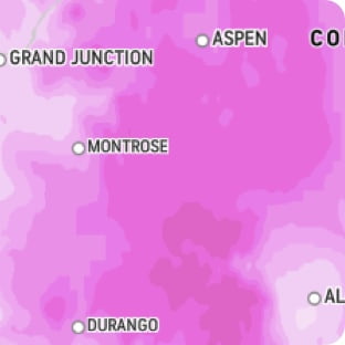
Snow and Ice Outlook
Ice
Upcoming
Start
7:00 PM
Monday, 2/23
End
9:00 PM
Monday, 2/23
Live Blog
Blizzard live updates: Northeast travel shut down, over 2 feet piles up

Latest Entry
More snow headed toward the Northeast this week
38 minutes ago

EXPERT FORECAST NEW
Updated February 23, 2026
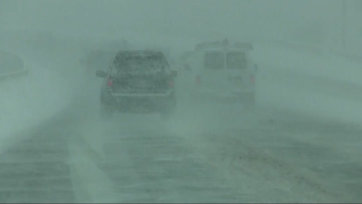
Blizzard for New York City to continue Monday
A major nor’easter will continue to affect the New York City area Monday afternoon with periods of snow and strong winds leading to blizzard conditions at times. While the worst of the storm will be shifting away from Manhattan by Monday evening, the storm will continue to rage on Long Island and eastern Connecticut well into Monday evening. Snow totals of 18-24 inches are forecast for the five boroughs. Locally higher amounts will occur on Long Island and the New Jersey coast. Power outages and coastal flooding will occur with this major storm.
Ice Accumulation
Temperature and Wind

Risk to Life and Property
Rainfall
Max Sustained Winds
Max Wind Gusts
Storm Surge
Total snow accumulation
> 24in
> 1.2in
All values are displayed in Fahrenheit. Click on a point for location details.
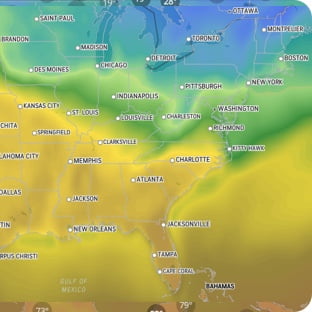
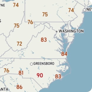
Temperature
-50°F
-20°
10°
40°
70°
100°
130°F
RealFeel®
°
RealFeel Shade™
°
Wind
at
mph
Wind Gusts
mph
Past 24 hr Precipitation
in
See full details
RealFeel®
°
RealFeel Shade™
°
Wind
at
mph
Wind Gusts
mph
Past 24 hr Precipitation
in
See full details
Wind (mph)
<20
20
30
40
50
60
70
>70
Today's Lifestyle Forecast
Snow Day Forecast
Find out how likely school facilities may be closed, due to inclement weather.
Akiak, AK
99551
Latest in Winter Weather
See More