Go Back
  • For Business
  • |
  • Warnings
  • Data Suite
  • Forensics
  • Advertising
  • Superior Accuracy™
Dangerous storm prompts evacuations, flood danger for California. Get the latest. Chevron right
Snowstorm looms for Northeast on Friday, Saturday. Get the forecast. Chevron right

Columbus, OH

55°F
Location Chevron down
Location News Videos
Use Current Location
Recent

Columbus

Ohio

55°
No results found.
Try searching for a city, zip code or point of interest.
settings
Columbus, OH Weather
Today WinterCast Local {stormName} Tracker Hourly Daily Radar MinuteCast® Monthly Air Quality Health & Activities

Around the Globe

Hurricane Tracker

Severe Weather

Radar & Maps

News

News & Features

Astronomy

Business

Climate

Health

Recreation

Sports

Travel

For Business

Warnings

Data Suite

Forensics

Advertising

Superior Accuracy™

Video

Winter Center

AccuWeather Early Hurricane Center Top Stories Trending Today Astronomy Heat Climate Health Recreation In Memoriam Case Studies Blogs & Webinars

News / Weather News

Whiteout conditions to ensue as feet of lake-effect snow blast parts of northeastern US

By Faith Eherts, AccuWeather meteorologist & Alex Sosnowski, AccuWeather senior meteorologist

Published Dec 13, 2016 1:50 PM EST | Updated Jul 1, 2019 4:26 PM EST

Copied
Autoplay Seasonal Playlist (for top of stories)

As the coldest air of the season so far blasts across the Great Lakes, bands of heavy lake-effect snow will be unleashed from the middle to the end of the week.

The lake-effect snow event will create local blizzards and dangerous travel conditions downwind of the Great Lakes from Wednesday through Friday.

Feature graphic hd28

With the magnitude of the cold air coming in, a dangerous situation could unfold beginning at midweek. This is the type of lake-effect snow that can not only blind motorists suddenly but could also strand motorists on the highway.

Highways most likely to suffer the extreme effects from this lake-effect snow event are I-75, I-81, I-90, I-94, I-96 and I-196.

If you must travel through the lake-effect snow area, make sure your vehicle is equipped to handle the snow. Pack extra blankets in your car in case you get stuck for a number of hours.

Anyone venturing out during the lake-effect snow event should travel slowly and cautiously as spin-outs become more likely in adverse winter weather conditions.

While the bands of snow will shift initially, they are not likely to continue to shuffle around as much as last week's event.

This time, more significant snow can be expected to fall on the Buffalo and Watertown, New York, areas into Wednesday with several inches likely. Enough snow will fall to slow travel in the Buffalo metro area.

Feature graphic hd25

During Wednesday, the bands of snow from lakes Superior and Michigan will shift southward and end up in a northwest-to-southeast orientation. Bands of snow off lakes Huron, Erie and Ontario will shift to a west-to-east orientation during late Wednesday and Wednesday night.

The orientation of the bands of snow will roughly remain unchanged from Wednesday night to Friday.

"While the overall duration of the lake-effect snow event is likely to be shorter than that of last week, the bands of snow will persist in local areas for a long time," according to AccuWeather Senior Meteorologist Brian Wimer. "This means that very heavy snowfall will occur in some communities due to the persistent nature of the snow bands."

RELATED:

AccuWeather Winter Weather Center
Great Lakes region interactive radar
Millions face subzero temperatures as icy air sweeps across northern US

The magnitude of the cold air will cause the snow to become very dry and fluffy. Snowfall rates of 2-4 inches per hour can occur. In the most persistent bands of snow, 2 feet or more of snow can bury some communities.

"A very persistent and heavy lake-effect band may develop along part of the south shore of Lake Ontario, which could produce phenomenal snowfall on Thursday in the Rochester, New York, area," according to AccuWeather Senior Meteorologist Bernie Rayno.

Such a band of snow is possible as moisture will be gathered from lakes Superior, Huron and Ontario.

The snow will also be subject to extensive blowing and drifting, due to strong, gusty winds.

Whiteout conditions are anticipated and some of the snow squalls can be accompanied by thunder and lightning.

Flurries could extend east of the Appalachians during Thursday. The best chance of a couple of passing snow showers will be from north of Philadelphia to New York City and Boston.

Report a Typo
Weather News

Travel

Christmas travelers may be slowed in 2 parts of US

Dec. 23, 2025
video

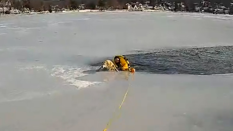
New Jersey police officer rescues dog from a frozen lake

Dec. 22, 2025
video

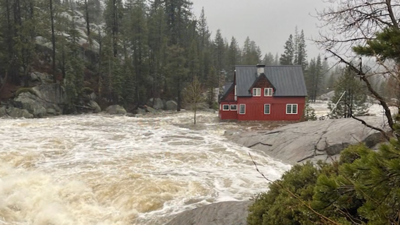
Atmospheric rivers bring dangerous flooding to California

Dec. 22, 2025
Show more Show less Chevron down

Topics

AccuWeather Early

Hurricane Center

Top Stories

Trending Today

Astronomy

Heat

Climate

Health

Recreation

In Memoriam

Case Studies

Blogs & Webinars

Top Stories

Weather Forecasts

Dangerous storm to flood California before Christmas

47 minutes ago

Weather News

Dense fog hampers search after deadly plane crash into Galveston Bay

3 hours ago

Weather News

California evacuation orders issued ahead of new storm after fatal flo...

2 hours ago

Winter Weather

Late-week snowstorm looms for part of Northeast, including NYC

1 hour ago

Weather Forecasts

Warmest Christmas on record likely in part of US

44 minutes ago

More Stories

Featured Stories

Weather News

NPS seeking tips to help find missing 26-year-old woman

1 day ago

Weather News

Massive sinkhole in England swallows canal boats, sparking rescue

1 day ago

Astronomy

These are the top 3 astronomy stories of 2025

1 day ago

Weather News

Largest wildlife overpass in North America opens across 6-lane highway

1 day ago

Weather News


Los Angeles wildfires linked to spike in heart, lung emergencies

4 days ago

AccuWeather Weather News Whiteout conditions to ensue as feet of lake-effect snow blast parts of northeastern US
Company
Proven Superior Accuracy™ About AccuWeather Digital Advertising Careers Press Contact Us
Products & Services
For Business For Partners For Advertising AccuWeather APIs AccuWeather Connect RealFeel® and RealFeel Shade™ Personal Weather Stations
Apps & Downloads
iPhone App Android App See all Apps & Downloads
Subscription Services
AccuWeather Premium AccuWeather Professional
More
AccuWeather Ready Business Health Hurricane Leisure and Recreation Severe Weather Space and Astronomy Sports Travel Weather News Winter Center
© 2025 AccuWeather, Inc. "AccuWeather" and sun design are registered trademarks of AccuWeather, Inc. All Rights Reserved.
Terms of Use | Privacy Policy | Cookie Policy | About Your Privacy Do Not Sell or Share My Personal Information | Data Sources

...

...

...