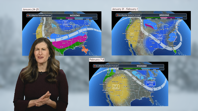
Stormy Pattern Ahead
I will update on the late weekend storm for the Maritimes later Friday. The latest information that I have looked at is still conflicting, but I lean toward a significant storm winding up south of Nova Scotia later in the weekend, which will bring significant snow and increasing wind to a large part of New Brunswick and possibly PEI and northern Nova Scotia. Computer models have slowed the arrival of the storm a bit as well.
A weaker storm system will impact Ontario by early Tuesday with snow likely changing to rain over southwestern Ontario, but areas from the GTA on north may have trouble getting above freezing with the potential for a moderate snowfall or a snow to mix situation.
A much more potent storm system will cross the U.S. later next week and could bring significant precipitation to parts of Ontario/Quebec around Friday next week then Atlantic Canada after that.
A very active pattern will be shaping up across the U.S. and southern Canada over the next 10-14 days as a weak blocking pattern takes shape over northeastern Canada and forces a stronger jet stream farther south, which allows it to interact with southern moisture.
Here is what the latest ECMWF weekly long-range forecast model shows for North America into the middle of March.
Report a Typo


