Next winter storm plotting to be a troublemaker for eastern US late this week
By
Alex Sosnowski, AccuWeather senior meteorologist
Published Jan 20, 2020 4:53 PM EDT
This story has been replaced by new, separate stories on the wintry weather for the Midwest and the snow, ice and rain in the Northeast.
A new round of travel problems associated with the next winter storm will spread from the central United States to the Northeast following a lull from snow and ice for a time this week.
The storm is destined to bring wintry precipitation and travel problems over a broad swath, even though Arctic air in place to start this week will grow stale and trend milder over time.
First, a weak storm producing rain and mountain snow in in the Four Corners region will swing eastward at midweek.
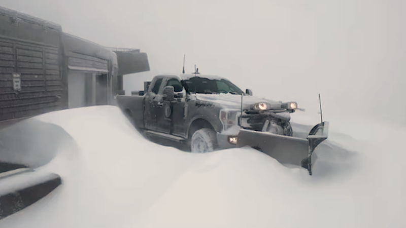
This image, taken on Tuesday morning, Jan. 21, 2019, shows clouds associated with a storm pushing over the interior western United States. (NOAA / GOES-West)
"That preliminary storm will bring a bit of snow and a wintry mix to portions of the central Plains and Upper Midwest during Tuesday night and Wednesday," AccuWeather Meteorologist Matt Benz said.
Snowfall with the system spanning Tuesday night and Wednesday will generally be light and more of a nuisance. But, a few locations from the central Plains to the Upper Midwest can receive an AccuWeather Local StormMax™ of 4 inches.
"The main storm to affect the Central and Northeastern states will take shape a short time later and will capture the midweek storm before moving along," Benz said.
During Wednesday night to Friday, a swath of snow from the main storm is forecast to extend from parts of northeastern Kansas to northern Michigan.
While generally only a few inches of snow are likely to fall in this swath, more than enough can fall to make some roads slippery in the Interstate 35, I-80 and I-90 corridors. An AccuWeather Local StormMax™ of 8 inches is foreseen with the storm for the Midwest. Cities that have the potential to receive up to a few inches of snow or a combination of rain and snow include Kansas City, Missouri; Des Moines, Iowa; Omaha, Nebraska; Madison, Wisconsin; Minneapolis and perhaps Chicago.
As the system continues to move along at the end of the week and this weekend, some significant differences are likely to develop in the structure and track of the storm, when compared to last weekend.
The most recent storm that unfolded this past weekend tracked quickly toward the Great Lakes and had plenty of cold air to work with.
The storm this weekend will be operating on stale Arctic cold air, and will crawl eastward, rather than northward and is also likely to hook up with the jet stream level of the atmosphere.
With the storm still several days away form fully taking shape, forecasters say there is uncertainty with regards to the specific timing as well as forms and intensity of precipitation.
Here is what we do know at this time for the weekend storm in the Northeast.
With the leftover Arctic air being cool at best, the initial form of precipitation is likely to be more of the liquid variety for the Ohio Valley, central Appalachians, mid-Atlantic coast and southern New England. Rain or a combination of snow, ice and rain are likely in these areas for a while during the first part of the storm.
Forecasters caution that because this storm will take a more eastward, rather than northward track, and the air aloft may turn colder over part of the storm, a transition from rain to snow or from an icy mix to snow can take place in parts of the Ohio Valley and central Appalachians.
There's a remote chance of the same thing happening along a stretch of the I-95 corridor of the mid-Atlantic and southern New England. Otherwise, most of the storm in these coastal areas is likely to be in the form of rain.
In this manner, the situation may behave similarly to that of a storm in mid-March, rather than late January, with the heaviest snow over the higher elevations and much lesser snow or a rain and snow mix in lower elevations.
CLICK HERE FOR THE FREE ACCUWEATHER APP
There is also some hint of a reinforcing dose of cold air developing over northern New England and southeastern Canada, which could be pulled into the storm and increase the chances of a change to snow farther south and perhaps causing the snow to become heavy over the central Appalachians and in central New England. The Berkshires and Catskill mountains could be near the center of the heaviest snow.
Details will unfold with the storm as the weekend progresses. There are bound to be some interesting changes in the forecast with this tricky storm as more information becomes available. At this time, the potential for heavy snow for part of the Northeast cannot be dismissed.
It is probably too early to change plans for this weekend in parts of the Midwest or the Northeast as weather-related problems may only occur during a limited time. However, as with most activities and travel plans this time of the year, it generally pays to have some flexibility, even when it's not all that cold as storms approach.
Keep checking back on AccuWeather.com and stay tuned to the AccuWeather Network on DirecTV, Frontier and Verizon Fios.
Report a Typo


News / Winter Weather
Next winter storm plotting to be a troublemaker for eastern US late this week
By Alex Sosnowski, AccuWeather senior meteorologist
Published Jan 20, 2020 4:53 PM EDT
This story has been replaced by new, separate stories on the wintry weather for the Midwest and the snow, ice and rain in the Northeast.
A new round of travel problems associated with the next winter storm will spread from the central United States to the Northeast following a lull from snow and ice for a time this week.
The storm is destined to bring wintry precipitation and travel problems over a broad swath, even though Arctic air in place to start this week will grow stale and trend milder over time.
First, a weak storm producing rain and mountain snow in in the Four Corners region will swing eastward at midweek.
This image, taken on Tuesday morning, Jan. 21, 2019, shows clouds associated with a storm pushing over the interior western United States. (NOAA / GOES-West)
"That preliminary storm will bring a bit of snow and a wintry mix to portions of the central Plains and Upper Midwest during Tuesday night and Wednesday," AccuWeather Meteorologist Matt Benz said.
Snowfall with the system spanning Tuesday night and Wednesday will generally be light and more of a nuisance. But, a few locations from the central Plains to the Upper Midwest can receive an AccuWeather Local StormMax™ of 4 inches.
"The main storm to affect the Central and Northeastern states will take shape a short time later and will capture the midweek storm before moving along," Benz said.
During Wednesday night to Friday, a swath of snow from the main storm is forecast to extend from parts of northeastern Kansas to northern Michigan.
While generally only a few inches of snow are likely to fall in this swath, more than enough can fall to make some roads slippery in the Interstate 35, I-80 and I-90 corridors. An AccuWeather Local StormMax™ of 8 inches is foreseen with the storm for the Midwest. Cities that have the potential to receive up to a few inches of snow or a combination of rain and snow include Kansas City, Missouri; Des Moines, Iowa; Omaha, Nebraska; Madison, Wisconsin; Minneapolis and perhaps Chicago.
As the system continues to move along at the end of the week and this weekend, some significant differences are likely to develop in the structure and track of the storm, when compared to last weekend.
The most recent storm that unfolded this past weekend tracked quickly toward the Great Lakes and had plenty of cold air to work with.
The storm this weekend will be operating on stale Arctic cold air, and will crawl eastward, rather than northward and is also likely to hook up with the jet stream level of the atmosphere.
Related:
With the storm still several days away form fully taking shape, forecasters say there is uncertainty with regards to the specific timing as well as forms and intensity of precipitation.
Here is what we do know at this time for the weekend storm in the Northeast.
With the leftover Arctic air being cool at best, the initial form of precipitation is likely to be more of the liquid variety for the Ohio Valley, central Appalachians, mid-Atlantic coast and southern New England. Rain or a combination of snow, ice and rain are likely in these areas for a while during the first part of the storm.
Forecasters caution that because this storm will take a more eastward, rather than northward track, and the air aloft may turn colder over part of the storm, a transition from rain to snow or from an icy mix to snow can take place in parts of the Ohio Valley and central Appalachians.
There's a remote chance of the same thing happening along a stretch of the I-95 corridor of the mid-Atlantic and southern New England. Otherwise, most of the storm in these coastal areas is likely to be in the form of rain.
In this manner, the situation may behave similarly to that of a storm in mid-March, rather than late January, with the heaviest snow over the higher elevations and much lesser snow or a rain and snow mix in lower elevations.
CLICK HERE FOR THE FREE ACCUWEATHER APP
There is also some hint of a reinforcing dose of cold air developing over northern New England and southeastern Canada, which could be pulled into the storm and increase the chances of a change to snow farther south and perhaps causing the snow to become heavy over the central Appalachians and in central New England. The Berkshires and Catskill mountains could be near the center of the heaviest snow.
Details will unfold with the storm as the weekend progresses. There are bound to be some interesting changes in the forecast with this tricky storm as more information becomes available. At this time, the potential for heavy snow for part of the Northeast cannot be dismissed.
It is probably too early to change plans for this weekend in parts of the Midwest or the Northeast as weather-related problems may only occur during a limited time. However, as with most activities and travel plans this time of the year, it generally pays to have some flexibility, even when it's not all that cold as storms approach.
Keep checking back on AccuWeather.com and stay tuned to the AccuWeather Network on DirecTV, Frontier and Verizon Fios.
Report a Typo