New round of tree-snapping ice, heavy snow is heading for northern tier of US
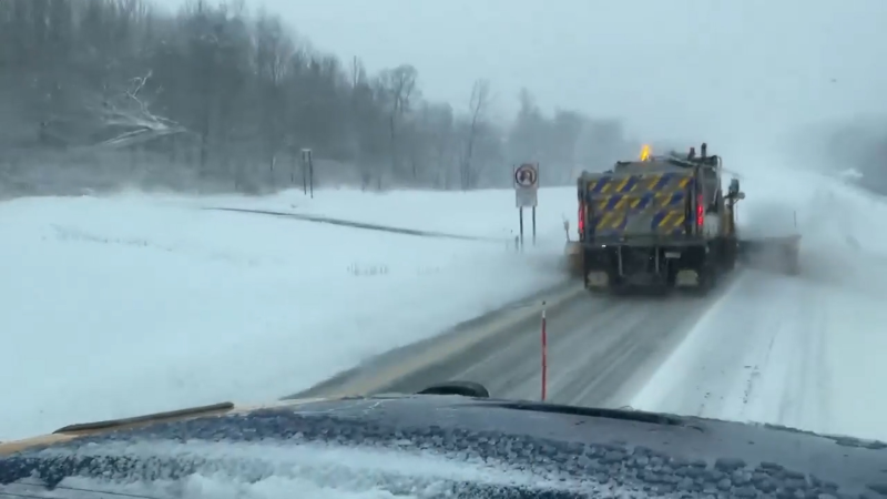
A second significant snow and ice storm will visit hard-hit areas of the Upper Midwest, northern New England and southern Canada prior to the end of the week.
This motorist had to navigate through downed icy trees and debris in this messy road in Gaylord, Michigan, on March 30. The area was hit by an ice storm that weighed down trees and power lines.
Some of the same areas of the Upper Midwest, upstate New York and northern New England that were dealt winter's worst weather this past weekend are being hit again with heavy snow and significant ice into Thursday, AccuWeather meteorologists warn.
Portions of northern Michigan were encased with ice 1-2 inches thick in some cases. Meanwhile, Marquette, Michigan, picked up nearly 20 inches of snow from the weekend storm. Several inches of snow fell on the northern tier of New York and parts of Vermont, New Hampshire and Maine. Northern and central Minnesota and Wisconsin picked up several inches of snow with pockets of ice.
An ice storm of that magnitude so late in March is extremely rare, even for the northern tier of the United States, let alone a second storm that could bring another round of ice just a few days later, AccuWeather Senior Meteorologist Dan Pydynowski said. However, that is just what is unfolding over much of the same region.

This time, in the zone from much of northern Michigan to northern New England, the snow and icy mix portion of the storm was much shorter than this past weekend—perhaps only lasting several hours.
However, just enough ice can occur to again weigh down trees that the prior storm may have damaged. Add a breeze, and trees already under stress can suffer further damage, potentially causing more power outages.
GET THE FREE ACCUWEATHER APP
•Have the app? Unlock AccuWeather Alerts™ with Premium+
Portions of northern Michigan resembled a war zone with scores of trees that collapsed under the weight of ice blocking roads this past weekend.
Ice and snow will fall on portions of northern New England and southern Quebec into Thursday.

While some snow will fall on northern portions of New England, the heaviest snow with this setup fell over the eastern portion of the Dakotas, northern Minnesota, northwestern Wisconsin and northern Ontario.
In the middle of this area, from 6-12 inches (15-30 cm) of snow is forecast to fall with an AccuWeather Local StormMax™ of 24 inches (60 cm) through early Thursday morning. The snow will mostly be of a wet and clinging nature which can stick to trees, weighing them down and potentially causing branches to break and take power lines with them.

Because this storm will tend to travel farther north than the storm from last weekend, it will allow warmer air to push into eastern New York and New England, which will truncate the snow and ice later in the week.
As the stormy pattern continues over the Ohio and middle Mississippi valleys through the weekend, with historic flooding and severe weather that can threaten a significant number of lives and property, subsequent rounds of moisture can bring additional episodes of snow, ice, and a wintry mix to portions of the Upper Midwest and northern New England.
Want next-level safety, ad-free? Unlock advanced, hyperlocal severe weather alerts when you subscribe to Premium+ on the AccuWeather app. AccuWeather Alerts™ are prompted by our expert meteorologists who monitor and analyze dangerous weather risks 24/7 to keep you and your family safer.
Report a Typo


