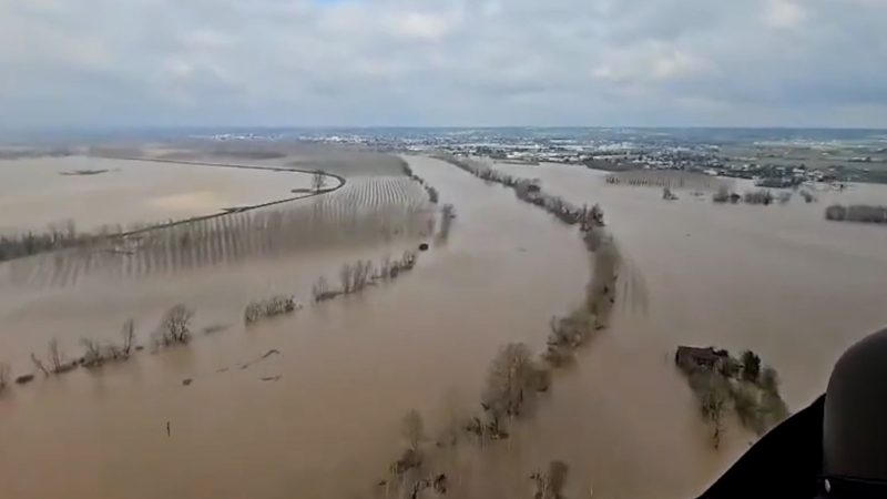
Storms to hammer central and eastern US with flood, wind threat
Severe thunderstorms and flash flooding will continue to impact millions across the Plains, Midwest and Northeast, with multiple rounds of storms expected into early next week.
Heavy rain brought flash flooding to the Bedford Park neighborhood of Chicago, Illinois, on July 25.
Rounds of severe thunderstorms packing torrential downpours and high winds as their main threats will roll from portions of the Great Plains to the Midwest and the Northeast through this weekend and beyond.

The stormy episodes will occur along the path of an active jet stream, which will mark the northern edge of a shifting heat dome through this week, AccuWeather meteorologists say.
Storms to hammer parts of Central, Eastern states on Sunday
The risk of locally severe thunderstorms capable of producing downburst wind gusts and flash flooding will extend from southwestern New England through the Ohio Valley on Sunday afternoon and evening. Storms could slow down drivers on major highways and cause delays at busy airports in New York City, Philadelphia and Pittsburgh.

There is growing concern that a large complex of severe thunderstorms will develop over North Dakota and northwestern Minnesota on Sunday and roll southeastward for hundreds of miles toward the shores of lakes Superior and Michigan Sunday night.

Powerful wind gusts with an AccuWeather Local StormMax™ of 90 mph are possible, as well as damaging, wind-driven hail.
GET THE FREE ACCUWEATHER APP
•Have the app? Unlock AccuWeather Alerts™ with Premium+
High risk of severe thunderstorms early this week
Additional rounds of severe thunderstorms are expected to frequent similar zones and extend many more hundreds of miles to the southeast on Monday and Tuesday.
AccuWeather meteorologists have issued a rare 'high risk' of severe thunderstorms for Monday. Thunderstorms are expected to ignite in portions of Montana and the Dakotas in the late afternoon and evening hours before combining into a complex of thunderstorms overnight.
As the thunderstorm complex charges through the Dakotas and into Minnesota and Iowa, widespread damaging wind gusts of 70-80 mph are expected, with an AccuWeather Local StormMax™ of 100 mph. Flash flooding, hail and even a few tornadoes are also a concern from this complex of thunderstorms.

Severe thunderstorms will continue to drench the Plains and Midwest, though thanks to a strong push of cool air, the threat is expected to set up farther to the south and east on Tuesday.
A corridor from eastern Wyoming to western Wisconsin and Illinois will have the greatest chance of having flooding downpours and locally gusty winds, though storms are not expected to be as potent as the day before.

The aforementioned strong push of cool air from central Canada to the Great Lakes and Northeast will continue into the late week and will eventually mark an end to the thunderstorm pattern in most of the region, but could aggravate the thunderstorm risk farther to the south in the Central and Eastern states.
Want next-level safety, ad-free? Unlock advanced, hyperlocal severe weather alerts when you subscribe to Premium+ on the AccuWeather app. AccuWeather Alerts™ are prompted by our expert meteorologists who monitor and analyze dangerous weather risks 24/7 to keep you and your family safer.
Report a Typo


