Dangerous severe weather, including tornadoes, to target southern US
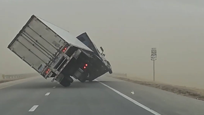
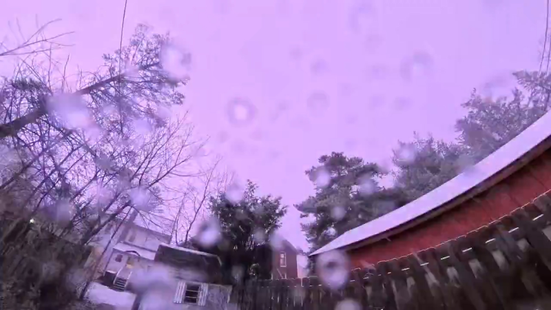
A strengthening storm fueled by moisture from the Gulf of Mexico will ignite a significant round of severe weather, which will put lives and property in danger.
Thunderstorms will turn severe, with threats lingering into the nighttime hours, including the potential for a few tornadoes.
It has been many weeks since there was a significant outbreak of severe weather in the United States. Following several tornado reports and close to two dozen incidents of severe weather over the lower Mississippi Valley into Monday night, AccuWeather meteorologists expect severe weather to continue Tuesday in the Southeastern states. Some of the powerful storms will linger well after dark, which will add to the danger.
The last significant severe weather outbreak in the U.S. was centered on the Great Plains on Oct. 3-4, when at least 175 storm reports were filed, including eight tornadoes. Prior to Monday, severe thunderstorms had not occurred since Sept. 26 in Louisiana and way back on Sept. 7 in Mississippi.
A strengthening storm will tap Gulf of Mexico moisture and jet stream energy as it travels northeastward over the eastern U.S. through Tuesday.

Thunderstorms began to erupt during the midday hours Monday and a number turned severe in the afternoon, spawning strong winds, hail and torrential downpours in central Louisiana.
By the evening hours, some of these thunderstorms began to develop characteristics capable of producing tornadoes. Through Tuesday morning, there have been at least five preliminary reports of tornadoes across central portions of Louisiana and Mississippi, according to the Storm Prediction Center.
Severe weather threat to shift into Southeast Tuesday
As the storm system responsible for Monday's severe weather lifts farther to the north Tuesday, conditions in the atmosphere will shift away from rotating thunderstorms and a high risk of tornadoes to more of a strong wind gust and torrential downpour event Tuesday. Those hazards will unfold farther to the east in the Southern states.

The storms on Tuesday will occur along and ahead of an advancing cold front and will likely occur from the Florida Panhandle northeastward to central and eastern North Carolina.
The risk area includes much of the southeastern half of Alabama and most of Georgia, including the Atlanta area. The highest risk for storms with disruptive downpours, dangerous lightning strikes and potentially damaging wind gusts around the Atlanta metro area will be during the morning through the early afternoon hours. As with the case of any severe thunderstorm, there is the potential of a brief tornado.
By Tuesday night, the widespread risk of severe weather will ease, but some of the thunderstorms that extend from northeastern Florida and coastal areas from southeastern Georgia and the Carolinas to southern Virginia may still be severe at the local level.

People traveling along the Interstate 95 corridor and in cities such as Charleston, South Carolina; Wilmington, North Carolina; and Norfolk, Virginia, may deal with localized flash flooding and strong wind gusts during the evening. Winds can knock over trees and trigger sporadic power outages for a time in that zone. An isolated tornadoes is not out of the question as well.
Drought has been preventing severe weather
Much of the South Central and Southeastern states have been in major drought or building drought conditions in recent months. The same pattern that has been acting as a deterrent against drenching rainfall has also been keeping a lid on thunderstorm activity.

In the autumn, there is often an uptick in severe weather following a downturn during the late summer. Instead of strengthening storm systems this autumn, which are the primary cause of severe weather this time of the year, storms have been weak, moisture-starved or avoided the region.
Want next-level safety, ad-free? Unlock advanced, hyperlocal severe weather alerts when you subscribe to Premium+ on the AccuWeather app. AccuWeather Alerts™ are prompted by our expert meteorologists who monitor and analyze dangerous weather risks 24/7 to keep you and your family safer.
Report a Typo


