Tropical development possible near Southeast coast as August begins
Three areas are being monitored for tropical development through early August, including a risk off the Southeast coast.
As July comes to an end, there are no tropical storms in the Atlantic, but the eastern Pacific is busy.
After a quiet stretch in the Atlantic, AccuWeather hurricane experts are monitoring three areas for tropical development into the first part of August, including near the Southeast coast.
In a pattern similar to what led to the formation of Tropical Storm Chantal back in early July, a slow-moving front is expected to move towards the Southeast coast and stall, which could be enough to generate tropical activity during the beginning of August.
Disruptive breezes (wind shear) in the region are anticipated to be weaker in early August as the front stalls. In turn, there is a low chance of tropical development Aug. 2-5.

"The good news is that if anything develops, it is likely to move away from the U.S.," said AccuWeather Lead Hurricane Expert Alex DaSilva.
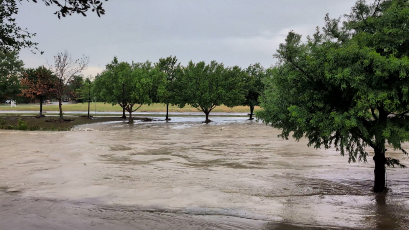
Regardless, as the front moves into the region on Friday before stalling over the weekend into early next week, rounds of showers and thunderstorms will spread from eastern Louisiana into eastern North Carolina. Due to the persistent nature of storms, there will be a heightened risk of localized flash flooding.
Individuals visiting area beaches will need to be on alert for rough surf and rip currents.
GET THE FREE ACCUWEATHER APP
•Have the app? Unlock AccuWeather Alerts™ with Premium+
Elsewhere across the Atlantic, one additional area is being monitored for potential tropical activity.

A tropical wave that has emerged off Africa will track westward over the coming days, approaching the Lesser Antilles during the middle to late parts of the week.
"Conditions are marginal for development during the first few days of August as the wave moves west," adds DaSilva. "Any interests in the Lesser Antilles will want to keep an eye on this wave as it moves east."
The tropical wave will battle dry air and wind shear as it enters the Caribbean. However, should it survive and continue along, it may have a better chance for development closer to Florida later in the first week or early in the second week of August.
The 2025 Atlantic Hurricane season has been off to a relatively fast start so far, with three named storms in the basin. The historical average for formation of the third named storm is early August. Meanwhile, the average date for the first hurricane is Aug. 11.

The next name on the list is Dexter. The average date for the fourth named storm is Aug. 15, meaning an additional storm into early August would set this season just over two weeks ahead of average.
AccuWeather's team of hurricane experts expects 13 to 18 tropical storms, of which seven to 10 will become hurricanes and three to five are likely to evolve into major hurricanes, for the 2025 season.


Want next-level safety, ad-free? Unlock advanced, hyperlocal severe weather alerts when you subscribe to Premium+ on the AccuWeather app. AccuWeather Alerts™ are prompted by our expert meteorologists who monitor and analyze dangerous weather risks 24/7 to keep you and your family safer.
Report a Typo