Whiteout conditions, locally over a foot of lake-effect snow to hit Great Lakes through Wednesday
This car rollover in Mitchell, Nebraska, on Nov. 24 is one of many accidents that have took place in the midst of a winter storm rampaging across the central U.S.
Fresh cold air and a lingering storm that was once a central United States blizzard will continue to bring bands of heavier lake-effect snow from Ohio to New York state and Pennsylvania into Wednesday night.
Among snow showers covering northeastern Ohio, western Maryland, the West Virginia mountains and much of Pennsylvania and New York state will be heavier bands of lake-effect snow. A total snowfall of 6-12 inches will be common, but there will be some exceptions, where bands of heavy snow persist.
As of Wednesday morning, the combination of snow from the lingering storm and bands of heavier snow from lake-effect had deposited up to 18 inches of snow on parts of western and central New York state.
Several additional inches of snow will fall into Wednesday night, which will leave some locations in New York state with 24-30 inches of snow on the ground by Thursday morning.

Motorists venturing along portions of Interstate 79, I-80, I-81 and I-86 should make sure their vehicle is properly equipped for winter driving, even though the areal coverage of snow will tend to become more spotty with time into Thursday morning.
Some of the heavier bands of snow can produce sudden whiteout conditions, which pose great danger for motorists traveling at highway speeds.
Download the free AccuWeather app to see if your area will be affected by snow and/or snow squalls. However, be sure to check several locations along your route as snowfall will vary significantly from mile to mile with this weather pattern.
A snow shower may reach as far as I-95 from near Washington, D.C. to Bangor, Maine, into Wednesday night. However, any accumulation of snow from Wednesday to Wednesday night will be very isolated.
Aside from the snow showers and lake-effect snow bands, blustery and cold conditions will linger into Thursday. Gusty winds will cause any snow that falls to blow and drift.

AccuWeather RealFeel® Temperatures can dip to 20 degrees Fahrenheit lower than the actual temperature. RealFeel Temperatures can dip into the teens, single digits and even to near zero on the coldest locations.
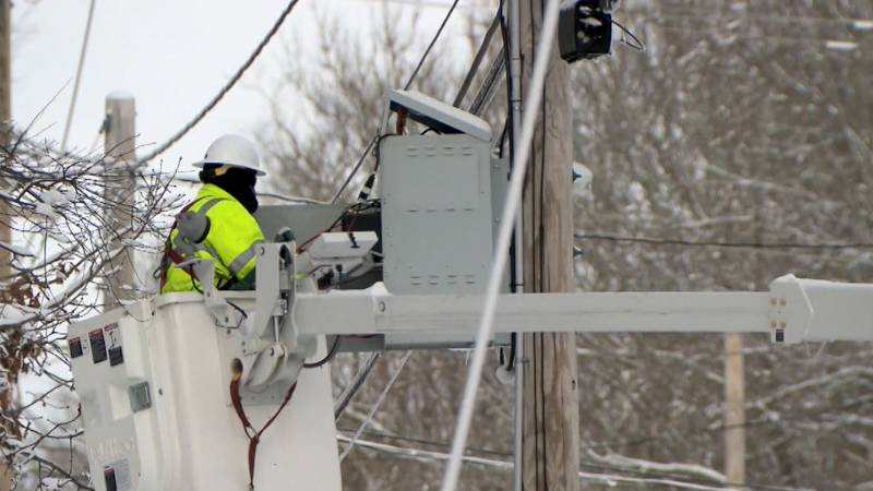
For the approximate 50,000 utility customers without power as of Wednesday midday from upstate New York to Maine in the wake of the recent nor'easter, it will be a rough 24 to 36 hours.
During late Wednesday night the snow showers and lake-effect will wind down.
However, a few lake-effect snow bands may linger in some areas of northeastern Ohio, northwestern Pennsylvania and western and northern New York state through Thursday morning.

How much snow do you think will fall? Click on the image above to make your prediction now and play Forecaster Challenge.


