Weekend severe storm outbreak to unleash threat of fast-moving tornadoes in central US
Storms can pack a punch with damaging winds, large hail and dangerous tornadoes from the lower Mississippi Valley to the Tennessee and Ohio valleys on Saturday and Saturday night.
"The areal coverage of the storm threat area is similar to that of the Feb. 5-6, 2008, Super Tuesday tornado outbreak," according to AccuWeather Extreme Meteorologist Reed Timmer.
Reed and other meteorologists at AccuWeather are concerned for a significant outbreak of severe weather that includes fast-moving storms and some tornadoes centered on Saturday and into Saturday night.
A storm blasting through the country is expected to bring blizzard conditions to a swath of the Plains while warmth surges across the South Central states and into part of the Midwest.
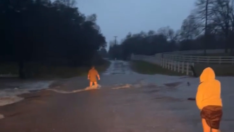
The storm will tap into the same moisture that has been fueling widespread flash flooding and river flooding across the region this past week. The storm threat includes the risk of new flooding. Additionally, conditions will be right for severe storms to form.

Portions of Texas, Louisiana, Arkansas, Mississippi, Tennessee, Kentucky, Missouri, Illinois and Indiana can be impacted by storms on Saturday, especially during the afternoon and evening hours.
Anyone living or working in Memphis or Nashville, Tennessee; Little Rock, Arkansas; Shreveport, Louisiana; or Jackson, Mississippi; should keep an eye on the sky and closely monitor weather bulletins on Saturday in order to not be caught off guard by any storms.
"Conditions will cause any severe thunderstorms that develop to move along at a swift pace," according to AccuWeather Lead Storm Warning Meteorologist Eddie Walker.
"Forward speed of the storms may top 50 mph," Walker said.
For this reason, people in the path of any thunderstorm with damaging wind gusts or tornadoes may have only minutes to seek shelter.
Adding to the danger will be the risk of some of the storms erupting before daybreak on Saturday and after dark Saturday night.
"On the northern edge of the risk for tornadoes may be a zone for thunderstorms with large hail across portions of central Illinois," according to AccuWeather Meteorologist Brett Rossio.
Download the free AccuWeather app for access to local radar and the latest warnings for your area.
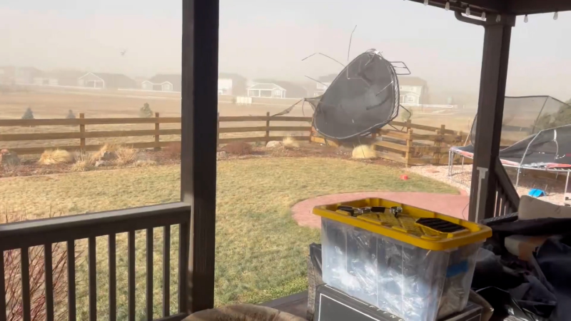
Anyone outdoors should seek shelter in a sturdy building at the first sign of threatening weather. Strong winds can topple trees and power lines, especially where days of rain have created very saturated soil conditions.
Motorists should keep an eye out for rapidly changing weather conditions during their travels. A severe thunderstorm with high winds and a tornado can sweep across a highway with little notice.
Even in the absence of severe thunderstorms, the overall strength of the storm forecast over the central United States is expected to cause strong winds and power outages in lieu of thunderstorms this weekend. Power outages may be regional to widespread from the Plains to the Midwest and Northeast.
Following this storminess, welcome dry weather and more tranquil conditions are expected to spread over the Central and Southern states from west to east spanning Sunday and Monday.
Report a Typo


