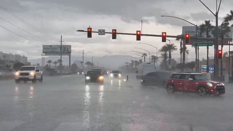
Tropical moisture to fuel relentless rain, flooding in southeastern US
Mother Nature will flip a switch on the Southeast as areas in the grips of a moderate drought will get pounded by tropical downpours for several days.
Through Wednesday, June 5, a number of communities in the southeastern U.S. from Mississippi to Florida, Georgia and the Carolinas have not had measurable rain (0.01 of an inch or greater) since the middle of May.

Moderate drought conditions have evolved from southeastern Alabama to the Carolina coast, according to the United States Drought Monitor.
The dryness and recent heat are being made worse this time of the year. With the summer solstice on June 21, the eight-week period of the most intense rays of the sun and greatest evaporation rates will continue into the end of July.
The dryness is contributing to the risk of wildfires in the region. In Florida, the 360G and Smith Still fires continue to burn as of June 5, according to the National Interagency Fire Center.
However, there is some hope for those tired of watering their garden and lawns on a daily basis.

The first downpours in an extended period of wet weather have begun to soak part of the region on Thursday.
However, widespread repeating downpours and drenching rain will span Friday to Monday with the weekend smack in the middle of the wet weather.
A tropical disturbance and non-tropical storm will combine forces. Copious amounts of moisture will crawl eastward over the South Central states and into the Southeast in the coming days.

The heaviest rain is likely to fall along the central Gulf coast and in part of the lower Mississippi Valley where it is generally not welcome as rivers continue to swell.
Farther to the east, there is the potential for 4-8 inches of rain and locally higher amounts to near a foot centered over the southern Appalachians and Piedmont areas.

If that rainfall is realized, the dry spell will be wiped away in some areas and drought may be substantially rolled back in others.
Some thunderstorm activity is likely to reach the northeastern Gulf and southern Atlantic coasts.
As a consequence of the wet pattern forecast to unfold, there may also be locally severe thunderstorms and isolated incidents of street flooding.
"Isolated tornadoes and waterspouts can occur on a daily basis near and just offshore of the Gulf Coast," AccuWeather Meteorologist Brett Rathbun said.
Enough rain to trigger small stream flooding cannot be ruled out in the Appalachians and perhaps farther to the east across Virginia and North Carolina.
The pair of systems may bring multiple rounds of rain for fans attending the CMA Festival in Nashville, Tennessee, from Thursday to Sunday.
It may take until next Tuesday or Wednesday for the rain to finally move out of the region.
The ongoing cloudy weather with additional showers will give the rain extra time to soak in before intense June sunshine returns later next week.
Download the free AccuWeather app to see if or when rain will fall on your area and the best days for outdoor plans. Keep checking back for updates on AccuWeather.com and stay tuned to the AccuWeather Network on DirecTV, Frontier and Verizon Fios.


