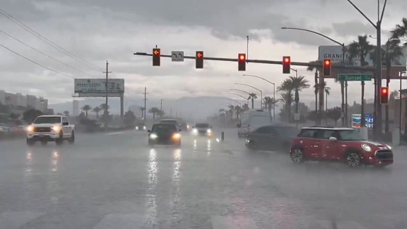
Stormy pattern to persist across Pacific Northwest, Northern California this week
The next Pacific storm will spread rain and mountain snow from Washington to Northern California during the middle and latter part of the week.
The winter months are typically the stormiest months of the year across the Northwest, and this season has proven no different. Since Jan. 4, Seattle has had only one day without measurable rainfall.
A strong Pacific storm coming into the West will bring more soaking rain and heavy mountain snow from the Pacific Northwest through central California through Wednesday night, according to AccuWeather Senior Meteorologist Jack Boston.
The Interstate-5 corridor from Seattle to Portland, Oregon, will be soaked by rain. Motorists along this stretch, as well as airline passengers traveling to, from or who have connections in these cities, should anticipate delays.

Minor flooding is possible in low-lying and poor-drainage areas, and small streams may experience a modest water rise.
Travelers through the passes in the Washington Cascades, including Snoqualmie Pass, along I-90, and Stevens Pass, along U.S. Route 2, should be prepared to face wintry and treacherous road conditions.
"Siskiyou Summit, Oregon, along I-5 may receive up to a foot of snow from Wednesday through Friday," according to AccuWeather Meteorologist Evan Duffey.
"Above pass level, the high country of the Cascades and northern Sierra Nevada can expect up to 3 feet of snow," Duffey said.
Enough snow to plow will fall on Donner Pass, along I-80.
Northern and central California will feel the effects of the storm spanning Wednesday through Thursday.
Enough rain may fall in burn scar areas of Northern California, including around the Tubbs Fire burn scar near Santa Rosa, California, to elevate the threat for excessive runoff and localized mudslides.
Fortunately for those still dealing with the aftermath of the Southern California mudslides from earlier in the month, rain will diminish in intensity as it progresses southward.
“Any showers late this week will be few and far between across Southern California, with minimal impact on cleanup operations,” AccuWeather Meteorologist Faith Eherts said.

While heavy snowfall may create travel problems for motorists over I-80’s Donner Pass, the fresh powder will be a boost to the depleted snowpack in the Sierra Nevada and the ski industry.
A recent report from the California Department of Water Resources showed that the Sierra snowpack is less than 30 percent normal for this point in the season across the entire mountain range.
California’s snowpack is vital, not only for the ski industry, but also for the state’s water supply during the spring and summer months.
“The pattern will stay rather consistent through the end of January and into early February as a parade of systems rams the Northwest coast with rain and mountain snow,” AccuWeather Long-Range Meteorologist Max Vido said.
Beyond late this week, a majority of these storms, however, may only brush the northern reaches of California.
Report a Typo


