Severe thunderstorms to threaten central and eastern US with flooding and damaging winds
Daily bouts of severe weather through early week across portions of the Plains, Midwest and mid-Atlantic will bring risks of damaging winds, hail and flash flooding.
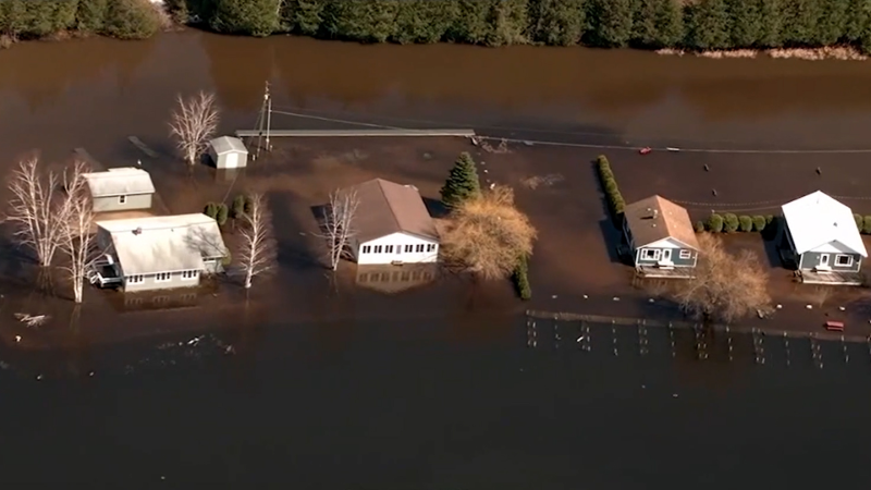
Flood threats are on the rise across Oklahoma.
Rounds of severe thunderstorms packing strong winds, hail and raising flooding concerns will focus on the central and eastern United States, AccuWeather meteorologists say.
Hot and humid air across the central and eastern U.S. will clash with an advancing cool air boundary into early week will cause thunderstorms to erupt, some of which will turn severe.
Thunderstorms on Tuesday will focus across a dozen states across the eastern U.S. as the cool front moves towards the East Coast. Thunderstorms from North Carolina into New England can be strong to perhaps severe Tuesday afternoon and evening.

"Flooding downpours, hail and damaging wind gusts will be the primary threats in any severe thunderstorm that erupts," said AccuWeather meteorologist Peyton Simmers. "These thunderstorms can slow down the evening commute along parts of the I-95 corridor including in New York City, Philadelphia and Washington, D.C."
The worst of the storms may focus on a corridor from southeastern Pennsylvania into northeastern Virginia.
Have the app? Unlock AccuWeather Alerts™ with Premium+
"Because of the cluster of major airport hubs in the mid-Atlantic, those with flights in, out or connecting through the region may run into delays and cancellations as storms pass through during the afternoon and evening on Tuesday," AccuWeather Senior Meteorologist Alex Sosnowski said.

Depending on the concentration of severe weather, crews and aircraft may be displaced enough to affect the timeliness of flights elsewhere across the nation and those heading overseas.
Another round of heavy and gusty to locally severe thunderstorms will reload farther to the north and west over the Great Lakes region at midweek.

On Thursday the same frontal system expected to set off midweek storms will shift into the Northeast with a similar array of thunderstorms that can bring hail, torrential downpours and strong wind gusts.

Want next-level safety, ad-free? Unlock advanced, hyperlocal severe weather alerts when you subscribe to Premium+ on the AccuWeather app. AccuWeather Alerts™ are prompted by our expert meteorologists who monitor and analyze dangerous weather risks 24/7 to keep you and your family safer.
Report a Typo


