Severe storms to batter flood-weary Upper Midwest into Friday night
Just days after flooding devastated portions of the Midwest, another round of severe weather could threaten communities from Minnesota to Missouri.
On Tuesday, flooding from the previous night prompted Wisconsin Gov. Scott Walker to declare a state of emergency for several counties. Some locations reportedly received nearly a foot of rain, nearly three times as much as typical rainfall totals during the month of August.
Another significant round of gusty, drenching thunderstorms is expected to impact the Upper Midwest at the end of the week.
"Severe thunderstorms that develop near the border of South Dakota and Minnesota will track across Minnesota and Wisconsin into the nighttime hours," said AccuWeather Meteorologist Maura Kelly.

"Meanwhile, another area of storms will bring drenching rain and gusty winds to Iowa and northern Missouri," Kelly said.
Those that live in flood-prone areas should complete any preparations before storms fire.
Anyone spending time outside should keep an eye on the sky and on their phone, and head inside at the first sign of threatening weather or if a severe thunderstorm warning is issued for their area. Remember, when thunder roars, go indoors.
Download the free AccuWeather app for access to local radar and up-to-date watches and warnings for your area.
"Periods of heavy downpours as well as damaging wind gusts will be the main threat from the storms across the region," Kelly warned.
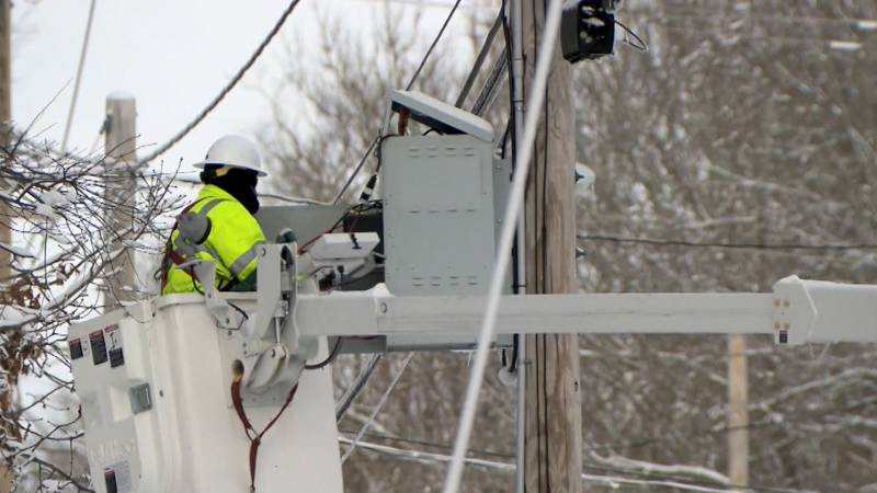
Gusty winds could down trees and power lines and result in power outages. Due to the saturated ground, it will be easier for large trees to be felled by any gusty winds.
"Flash flooding will be a concern, as many of these areas are still trying to dry out from heavy rain earlier in the week," Kelly said.
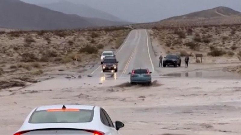
Motorists should never drive through flooded roadways. It is impossible to tell how deep the water is. The road beneath the water may have been washed away or may give way without notice.
There is the risk of a thunderstorm in South Bend, Indiana, during Saturday afternoon and evening. Michigan will take on Notre Dame at 8:00 p.m. EDT. Fans should be prepared to take cover as there is a risk of lightning.
Residents and first responders may then have more days of flood cleanup efforts ahead of them.

Unfortunately, the weather could remain stormy and the risk of flooding may continue through the upcoming holiday weekend and through much of next week.
Streams and rivers will remain high over a significant part of the region over the next week. People will need to remain vigilant if they live in a flood-prone area.
Report a Typo


