Photos: Severe storms cut power to over 100,000, trigger new round of flooding in Midwest
Severe thunderstorms swept across part of the north-central United States on Tuesday afternoon, bringing another round of damaging winds and flooding downpours to the region.
The worst of the severe weather focused on a zone from central Wisconsin through eastern Iowa with the strongest storms spinning up tornadoes. This is right after severe storms that tracked across the region on Monday.
The Iowa City Airport clocked one of the strongest winds of the day with a gust of 83 mph.
Over 60,000 electric customers in Michigan, over 40,000 in Wisconsin and over 13,000 in Iowa were left without power for a time on Tuesday evening after storms toppled trees and brought down power lines. Some evening commutes were also slowed due to trees that had fallen across roadways.
One person was injured near Thornton, Iowa, after a tractor trailer was blown over on Interstate 35.

Downed trees blocking Highway 12 southeast of Lyndon Station, Wisconsin. (Photo/AccuWeather Video Journalist Blake Naftel)
Thunderstorms also brought drenching downpours to parts of Wisconsin that received excessive rainfall late on Monday and Monday night.
Wisconsin Gov. Scott Walker declared a state of emergency in six counties due to the damaging flooding across the region.
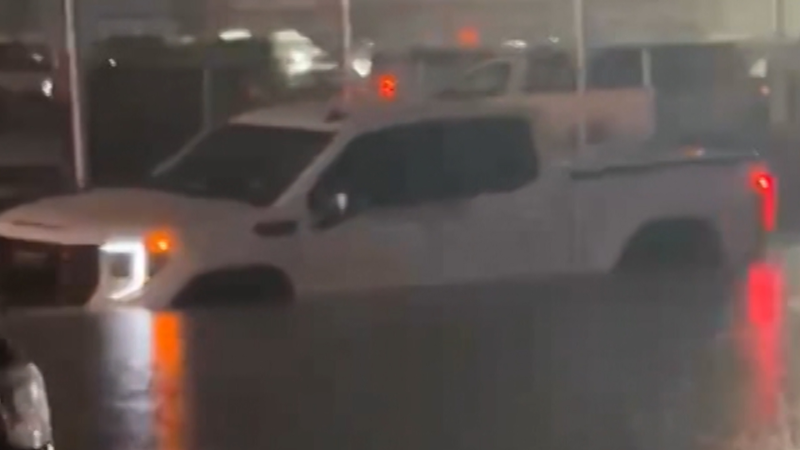
Cars became stranded on flooded roads in Green Bay, Wisconsin, after storms unloaded over two inches of rain in just a few short hours. Parts of Lambeau Field were also flooded following the torrential downpours.
The area will get a much-needed break from severe weather at midweek as drier, more comfortable conditions are expected.

Tractor trailers tiipped over in Lomira, Wisconsin. (Photo/Twitter user @ZiggyTweeting)

Swaths of flattened corn crops near Waupun, Wisconsin, following severe thunderstorms on Tuesday afternoon. (Photo/AccuWeather Video Journalist Blake Naftel)