Rain, snow showers and cooler air to sweep across northwestern US into Saturday
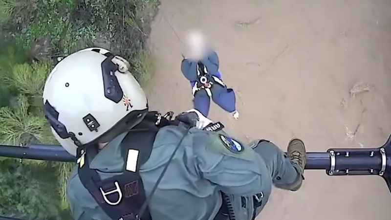
A wildfire in Grant County, Washington, has lead officials to order immediate evacuations for multiple homes in the area. The fire, which started on June 3, has already consumed 5,000 acres of countryside, but thankfully nobody has died as a result.
The mild start to June across the northwestern United States has briefly come to an end before warmth returns by next week.
Temperatures will be held at bay into the weekend as a storm system passes through the region.
"A dip in the jet stream has brought a brief end to the warm and dry start to June in parts of the West," AccuWeather Meteorologist Ryan Adamson said.
The switch to cooler conditions came at the expense of severe thunderstorms across portions of the interior Northwest on Thursday.
Over the span of May 29 to June 5, temperatures averaged 3 to 7 degrees Fahrenheit above normal. This includes the cities of Seattle, Washington; Portland, Oregon; Boise, Idaho; and Great Falls, Montana.
At the height of the cooldown, temperatures will average 5 to 15 F below normal.
Normal high temperatures this time of year are in the upper 60s to lower 70s F.

Hikers and campers could get caught off guard with this push of cooler air and should be prepared to bring extra layers for the colder overnight hours.
The cool air will aid in the wildfire efforts across the region. The Highway 243 Fire, among others, continues to burn in Washington state.
Warmth will even be trimmed as far south as Central California, where portions of the San Joaquin Valley reached 100 F on Wednesday for the first time this year.
"Fresno, California, had its fist 100-degree day of the year on Wednesday, but high temperatures trended back to the 80s F on Friday," Adamson said.
The storm system passing across the region will also contain enough moisture for a few rain and snow showers.
"While the precipitation will not be overly heavy or steady, it can lead to some minor delays on roads and at local airports," Adamson said.
Little if any rain will reach northern portions of California. However, gusty winds will whip into Saturday, heightening the risk of wildfires.

As the cooler air arrives, snow showers can fall in some of the higher elevations.
"Any snow should be confined to elevations above 6,000 feet, so the passes should not be impacted," Adamson said.
A general 1 to as much as 3 inches of snow can fall into Saturday.
The additional snow showers can add to the snowpack across several ski resorts and only add additional days to the already prolonged ski season. Many resorts have already extended their season past the Fourth of July.
This cooldown will not last long as warmer air is set to return by the end of the weekend.
"As the jet stream lifts back to the north, warmer and dry conditions will return to the West by the end of the weekend and into next week," Adamson said.
Record highs are set to be challenged in Seattle and Portland early next week.
Download the free AccuWeather app to see if or when rain will fall on your area and the best days for outdoor plans. Keep checking back for updates on AccuWeather.com and stay tuned to the AccuWeather Network on DirecTV, Frontier and Verizon Fios.


