Heat wave to break later this week across midwestern, northeastern US
A significant break in the heat wave for the northeastern and midwestern United States is slated to sweep in spanning Friday and Saturday.
While most areas may have already experienced the worst of the heat wave, there is more 90-degree Fahrenheit weather to go for some locations, according to AccuWeather Senior Meteorologist Kristina Pydynowski.

Although the heat peaked before Independence Day in many areas, AccuWeather RealFeel® Temperatures are projected to approach or exceed 100 in part of the Interstate 95 corridor, the Ohio Valley and central Plains into Thursday.
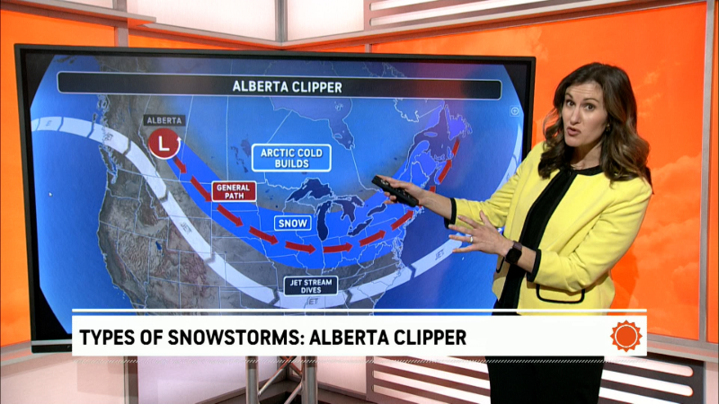
An area of high pressure at the surface and a northward bulge in the jet stream has kept cool air locked up in Canada.
However, the area of high pressure will weaken, and the jet stream will collapse southward on Thursday and Friday.

This setup will allow cooler and less humid air to flow from central Canada into the Northeast and much of the Midwest.
Both high and low temperatures are likely to be shaved by 10-15 degrees.

In Chicago, a high near 90 on Thursday will be swapped with highs in the upper 70s to lower 80s on Friday and Saturday.
Even in areas along the I-95 corridor of the Northeast, highs in the upper 80s to the middle 90s will be replaced with highs ranging from the middle 70s to the middle to upper 80s. But with much lower humidity levels, RealFeel Temperatures may be trimmed by 20 degrees.
It will still be warm, but temperatures will migrate back to more typical levels for early July, which should be much less dangerous for the elderly, folks with respiratory problems and those that exercise outdoors or partake in manual labor.
While fans and air conditioners are still likely to be needed, especially in heavy urban areas, many people in the suburbs and across the countryside may be able to turn them off and open the windows for cooling at night. Energy demands should decrease as a result.
Storms to initiate cooldown, mark breakdown of heat wave
Spotty, but heavy storms erupted over the Midwest, Ohio Valley, central Appalachians and southern new England on the Fourth of July. Flash flooding occurred in parts of Pennsylvania, including the State College area.
The storms were being fueled by the hot and humid air near the ground and given a boost by slightly cooler air moving in at high levels of the atmosphere.
Aside from storms, another potential problem for area evening fireworks displays through Friday will be the combination of high humidity and light winds that typically follow early evening downpours. These muggy, stagnant conditions can cause fog to form after sunset.
When evening fog accompanies the smoke from the explosions, viewing of pyrotechnics shows may be substantially impaired.
Thunderstorms are likely to be much more common and progressive during the latter days of the week as the wedge of cool air thrusts southward from Canada.

People with outdoor plans should keep an eye out for rapidly changing weather conditions during the afternoon and early evening hours, especially as the week progresses since the weather pattern will become more favorable for thunderstorm development.
Once cooler and less humid air has been established, the risk of storms will diminish from north to south.
It may take until this weekend before thunderstorms arrive on the scene along the lower mid-Atlantic coast.
Report a Typo


