Hawaii to face localized flooding downpours; Miriam to bypass the islands
Localized downpours can slow cleanup efforts and aggravate flooding in the wake of Lane across Hawaii early this week, while strengthening Tropical Storm Miriam is not expected to be a threat.
While Lane will continue to track away from Hawaii early this week, needed sunshine and dry weather may not follow for the extensive cleanup and recovery efforts.
Tropical moisture will instead remain and fuel localized downpours.
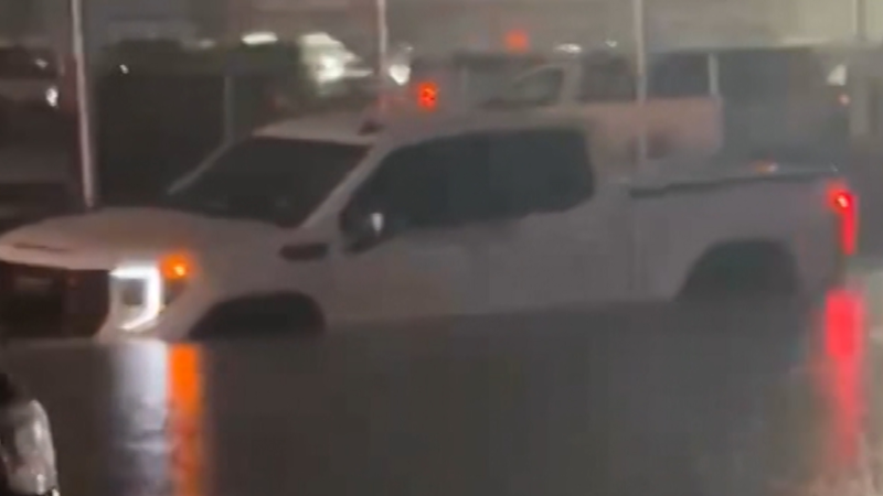
Any substantial rain can worsen ongoing flooding and trigger new mudslides, further threatening lives and property. There may be new evacuation orders, or residents forced from their homes may not be able to return as quickly as anticipated.
More roads and bridges can be damaged.

"The most numerous downpours that follow Lane are expected to be over the typical windward locations on the Big Island and Maui County," according to AccuWeather Senior Meteorologist Brett Anderson.
The east- and northeast-facing slopes of the Big Island were hit the hardest by Lane's extreme rainfall. Feet of rain led to catastrophic flooding.
Localized downpours will also target the western islands of Oahu and Kauai, mainly in windward areas, early this week. Isolated flash flooding can occur where Lane left the ground saturated.
Download the free AccuWeather app to stay aware of flood dangers.
Even in the absence of new flooding, the downpours can slow clean-up operations and the progression of flood waters receding.
"It will also be more humid by Hawaii standards across the islands early this week, which will put a strain on crews," according to Anderson.
More typical trade wind weather is expected to return at midweek.
Drier air will drop humidity levels to more typical Hawaii standards and cause showers to become very spotty in nature. The showers will continue to focus mostly on windward communities, and rainfall will be much less than what is expected from the downpours earlier in the week.
There is a risk for additional sporadic tree damage to occur as peak gusts could be strong enough to topple trees weakened by Lane and sitting in saturated soil.
In the wake of Lane, Tropical Storm Miriam is tracking over the eastern Pacific Ocean.

This satellite image of the eastern Pacific Ocean shows Miriam churning around the 130 degrees west longitude line on Monday, Aug. 27, 2018. (Image/NOAA)
Miriam is expected to track westward and strengthen into a hurricane by Tuesday. An eventual turn to the north is anticipated well before the storm nears Hawaii.
"Miriam is not expected to threaten any landmass," according to AccuWeather Hurricane Expert Dan Kottlowski.
At most, swells from Miriam may bring choppy seas to the east- and north-facing beaches late this week.
AccuWeather meteorologists will be closely monitoring another brewing tropical system currently located southwest of Mexico. It may attempt to track near Hawaii during the first full week of September.
Residents of Hawaii need to remain vigilant for additional threats from tropical storms and hurricanes through autumn, due to a developing El Niño.

"Because El Niño is a plume of warmer-than-average waters over the tropical Pacific Ocean, the warm water can sustain more hurricanes than average over the eastern and central Pacific, cause them to be stronger in nature and allow them to retain strength for a longer period of time as they approach Hawaii," according to AccuWeather Senior Meteorologist Alex Sosnowski.
Regardless of any tropical threat, the developing El Niño should lead to wetter-than-normal weather in Hawaii through September and October, Anderson stated.
Lane’s inundation can put the state at a higher risk for flash flooding and mudslides during this coming wet stretch.
"There should be a turn to drier weather close to winter, as is typical during an El Niño," according to Anderson.
Report a Typo