Central US to face ongoing severe weather threat through end of week
The severe weather threat will continue over a portion of the central United States that was hit hard by violent storms earlier this week.
Following multiple days under the threat of tornadoes, parts of Kansas, Oklahoma, Texas and Missouri will be at risk for severe thunderstorms that include the potential for a couple of isolated tornadoes into Friday night.
The storm system producing the severe weather will begin to advance eastward, but it will not move fast; some communities will deal with yet another night of closely monitoring severe weather bulletins.
Multiple tornadoes touched down on Friday afternoon and evening, including multiple twisters west of Wichita, Kansas and near Abilene, Texas.
One storm that produced a tornado near Santa Anna, Texas also produced hail as lrge as softballs, according to the 911 call center.

It does appear that the strongest storms will erupt east of the hardest hit areas from Tuesday and Thursday.
The storms will target a large part of the Interstate 35 corridor, including Dallas, Oklahoma City and Wichita, Kansas.
"The storm threat will extend as far south as part of the Big Bend area of the Rio Grande River in southern Texas to northern Missouri, including the Kansas City metro area," according to AccuWeather Senior Meteorologist Kristina Pydynowski.
Other cities at risk for severe storms into Friday night include Abilene, Texas; Tulsa, Oklahoma; Fort Smith, Arkansas; Topeka, Kansas; and Joplin and Springfield, Missouri.
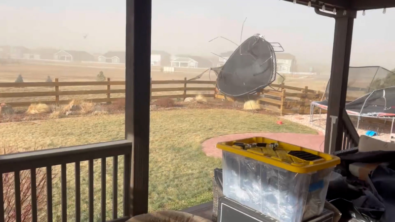
"Along with the potential for isolated tornadoes, the greatest threats from the severe thunderstorms will be for damaging wind gusts, hail and flash flooding into Friday night," Pydynowski said.
St. Louis could be rocked by another round of heavy storms during Friday night, following severe weather early Friday morning. Since the next round of storms may not reach St. Louis until very late at night, they are likely to be less intense than those farther to the west earlier Friday evening. There is still the potential for heavy, gusty storms reaching the St. Louis metro area, however.
Another area to watch for locally severe storms with hail and strong wind gusts into Friday night will extend from part of the Ohio Valley to Virginia and North Carolina.
The main threat area of severe weather will crawl northeastward on Saturday. Areas from northern Illinois and Indiana to Arkansas and northern Mississippi will be at greatest risk for damaging winds, hail and a couple of isolated tornadoes into Saturday night.

"The storm system will continue to produce areas of intense rainfall and consequential flooding," according to AccuWeather Chief Meteorologist Elliot Abrams.
Some of the heavy rainfall will overlap the severe thunderstorm threat area, while a portion of the heavy rain will fall well north of strongest storms.
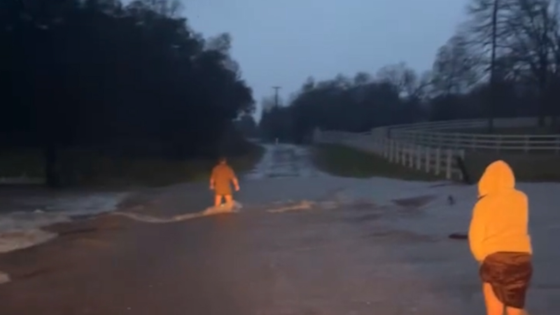
Areas from central Texas to central Iowa will be at risk for flash, urban and stream flooding through Friday night.
On Saturday, the risk of flooding will continue over parts of Texas but will press eastward across the middle and lower Mississippi valleys, along with the potential for gusty and perhaps locally severe thunderstorms.
The risk of severe storms will diminish from Dallas to Kansas City on Saturday. Most of this corridor will be free of rain and storms from Saturday through Sunday afternoon.
Report a Typo


