Summerlike warmth gripping the Northeast, but how long will it last?
AccuWeather meteorologists say there will be a reality check coming before the week draws to a close, and more stormy weather could be in store.
The first week of October will feel more like summer in the Northeast, but a chilly change is on the horizon.
A taste of second summer arrived right on time for October in the Northeast, but the unusual warmth won’t stick around for long. A late-week reality check will come in the form of a significant cooldown and perhaps stormy conditions brewing for some, AccuWeather meteorologists say.
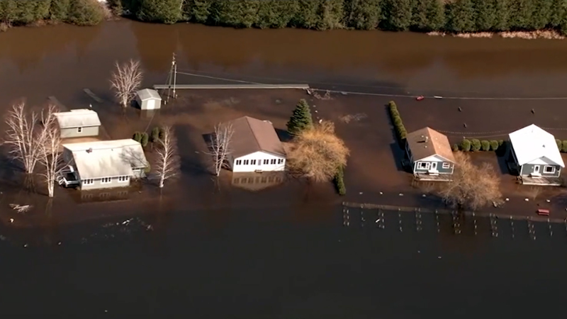
Dry, warm and generally sunny conditions will allow those in New York City and other areas of the upper mid-Atlantic and southern New England to clean up after Friday's deluge where more than 8 inches of rain fell in some areas, leading to damaging and highly disruptive flash flooding.

Through Wednesday, the weather will be ideal for many outdoor plans and projects, but it may even be on the warm side for some in the afternoons, AccuWeather Senior Meteorologist Adam Douty said. Temperatures will range from 5 to 15 degrees Fahrenheit above historical averages, which are in the 60s to the mid-70s.
Some areas will challenge daily record highs in the region.
"There are some 'sitting ducks' for record highs that could be surpassed," AccuWeather Senior Meteorologist Matt Benz said.
Some locations that could tie or break record highs on Oct. 4 include Burlington, Vermont; Binghamton, New York; and Scranton, Pennsylvania.
Temperatures will peak in the low 80s in Manhattan through Wednesday, which is 10-12 degrees above the historical average. Meanwhile, in Washington, D.C., highs will be in the mid-80s daily through Wednesday, compared to a seasonal average of 75.

In Boston, highs will be mainly in the 70s through Thursday. However, Temperatures on Tuesday surged into the 80s.
"The cool and wet conditions into the early part of the fall seem to have sped up the changing of the leaves, but with the warmth the next few days, that may slow down a bit," Benz added.
For those able to escape to the beach, conditions will be much calmer on the ocean when compared to recent weeks, but there may be some hazards on the beach and in the surf zone due to erosion that occurred during the stormy conditions.
There will be some temporary problems over the land as well, despite the sunny pattern.
"Travelers will have to watch out for areas of dense fog during the morning in many of the valleys across the interior of the Northeast through midweek," Douty said. "The visibility could be down to less than 1/4 of a mile, which can lead to delays on the highways. Flight delays are possible as well."

Fog sits in the valley of the White Mountains as leaves change colors, Sunday, Sept. 28, 2014 in this photo taken from Milan Hill in Milan, N.H. (AP Photo/Jim Cole)
The dry and sunny weather pattern will begin to break down later this week, forecasters say.
The area of high pressure that will be in a position to bring dry weather through Wednesday will shift its position late this week. As the high slides offshore, light winds will pick up and kick in from the southeast.
These breezes will bring an uptick in Atlantic moisture and mark the start of a downward temperature trend. However, highs will still be in the 70s over much of the Interstate 95 corridor. West of the Appalachians, warmth will likely hold on one more day with highs in the 80s to continue in Buffalo, New York, Pittsburgh, and Charleston, West Virginia, through Thursday.
"By Friday, clouds will be more extensive, and showers will begin to break out," Douty said.

A storm system will also approach from the Midwest -- made possible by the eastward shift of the high-pressure area. It is this storm system and dip in the jet stream that will direct much more moisture into the region and an eventual change to much cooler conditions.
"This weekend could turn out quite wet once again in some areas, along with a return to temperatures close to, or even below, the historical average," Douty said.
As the storm pivots eastward, it may be able to grab a great deal of Atlantic moisture and create a slowly advancing zone of heavy rain and gusty winds.

While this late-week scenario is not a certainty at this time nor is it likely to match the intensity of the torrential rain that hit New York City last Friday, it could bring renewed flash flooding and travel delays from Friday night to Saturday night in parts of the mid-Atlantic to New England. Meanwhile, AccuWeather meteorologists are keeping an eye on Tropical Storm Philippe for possible interaction and further enhancement of the rain in part of New England later this weekend as it tracks close to eastern New England.
Forecasters recommend removing debris from storm drains and gutters to avoid exacerbated flooding concerns from the late-week storm and others that will follow this autumn and winter.
In the wake of the storm and its trailing cold front, temperatures will be slashed by 20-30 degrees.

Widespread highs in the 50s are in store starting on Saturday in and west of the Appalachians and then beginning on Sunday east of the mountains.
Since the air will get so chilly and Great Lakes waters will remain relatively warm, the setup may be ideal for the formation of waterspouts by this weekend from the shores of Michigan to Ohio, Pennsylvania and New York.
Want next-level safety, ad-free? Unlock advanced, hyperlocal severe weather alerts when you subscribe to Premium+ on the AccuWeather app. AccuWeather Alerts™ are prompted by our expert meteorologists who monitor and analyze dangerous weather risks 24/7 to keep you and your family safer.
Report a Typo


