Storms, rain to shift through Southeast; Travel delays as warmth fades
Downpours and strong storms will spread toward East Coast, bringing the risk of flash flooding and travel delays, helping to ease drought conditions and end the recent warmth.
AccuWeather’s Ali Reid reported live from Newark International Airport, covering what is expected to be one of the busiest travel weeks of the Thanksgiving holiday.
The same storm responsible for severe weather and flash flooding in the south-central United States earlier this week will slide eastward into this weekend. While there are concerns about severe thunderstorms, flash flooding and early weather-related Thanksgiving travel delays, the rain will help ease drought conditions in some areas and mark the end of a warm week across the Southeast.
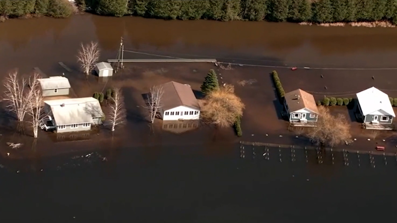
"A Flash Flood Emergency was issued for Menard, Texas, on Thursday after repeated rainfall totaled 9.2 inches, causing significant flooding in the town,” AccuWeather Social Media Producer Jesse Ferrell said. "Several roads were closed due to high water, and some homes took on water, but no injuries were reported."
Dallas recorded its wettest November day on record on Thursday, with 3.95 inches, topping 3.45 inches from 2015.
The storm has turned eastward and encountered drier air over the Midwest and Northeast. Rain across portions of the central Plains is expected to taper off early in the weekend.

Runners in the Philadelphia Half Marathon on Saturday morning may face rain, slick conditions and puddles. Drier air is forecast to move in later Saturday, paving the way for some sunshine and near-ideal conditions for the full marathon on Sunday.
Much of the Upper Midwest, eastern Great Lakes, New England and northern Appalachians can expect a dry weekend, which will be fine for taking in football games, raking leaves, getting a jump on outdoor holiday decorations or just taking in some fresh air.
The zone of showers and thunderstorms will settle across the Southeast on Saturday and Saturday evening.

A few thunderstorms may become locally heavy to severe with strong, gusty winds.
People attending outdoor events should remain alert for changing weather conditions that could lead to lightning.

Temperatures have challenged record highs across parts of the Southeast on several days this week. Saturday will be the final warm day for most of the Southeast, with highs in the 70s to lower 80s, before cooler air moves in Sunday and Monday following the storm system.

Some showers may settle southward into the southern parts of Alabama and Georgia, as well as northern and central Florida during this time.
Any rainfall short of flooding will be beneficial in reducing drought and wildfire risk. The rainfall is likely to be sporadic, however.

Temperatures are expected to fall 10-15 degrees Fahrenheit below their peak levels this week, starting later this weekend and continuing through early next week.
Want next-level safety, ad-free? Unlock advanced, hyperlocal severe weather alerts when you subscribe to Premium+ on the AccuWeather app. AccuWeather Alerts™ are prompted by our expert meteorologists who monitor and analyze dangerous weather risks 24/7 to keep you and your family safer.
Report a Typo


