New storm train for Pacific coast may include at least one 'bomb cyclone'
After a brief respite, storms packing drenching rain and mountain snow will return to a large part of the Pacific Coast of the United States and may continue to roll ashore to just a few days before Christmas.

This AccuWeather Enhanced RealVue™ Satellite image from Wednesday morning, December 11, shows the train of storms heading toward the West Coast.
Storms are gathering like boxcars on a freight train over the Pacific Ocean for an onslaught that will bring rounds of low-elevation rain, mountain snow and gusty winds that can lead to travel problems, at the very least, from Washington to Northern California. AccuWeather meteorologists say at least one of these storms may evolve into a bomb cyclone.
"Storms are lining up to arrive in the Northwest every two to three days and may continue to roll in until Dec. 22, or just before Christmas," AccuWeather Senior Meteorologist Brett Anderson said.
One or more storms could organize a long plume of moisture that acts as an atmospheric firehose. This setup is often referred to by meteorologists as an atmospheric river.

The first storm will begin to roll in Wednesday night with a focus on Oregon and Northern California.
"For much of Northern California, this will be the first rain since before Thanksgiving," AccuWeather Senior Meteorologist Dave Houk said, "The heaviest of the rain with this first storm will come Wednesday night and advance quickly southward through the San Francisco Bay area during the middle of the night then and down through the coast of Central California before dawn on Thursday."
In general, between 0.50 and 1 inch of rain is likely to fall in Northern California and parts of western Oregon. The intensity of the rain will tend to diminish farther south, but it may hold together enough to bring a couple of hours' worth of rain around Los Angeles Thursday.
Later this week, storm number two will approach the coasts of Washington and British Columbia.
"This second storm has the best chance of strengthening rapidly enough to be a bomb cyclone," Houk said.

A bomb cyclone is a storm where the central pressure plunges 0.71 of an inch of mercury (24 millibars) or more in 24 hours or less.
Rain will overspread much of Washington and Oregon Friday and advance southward along the coast of Northern California, including the San Francisco area, later Friday to Saturday.
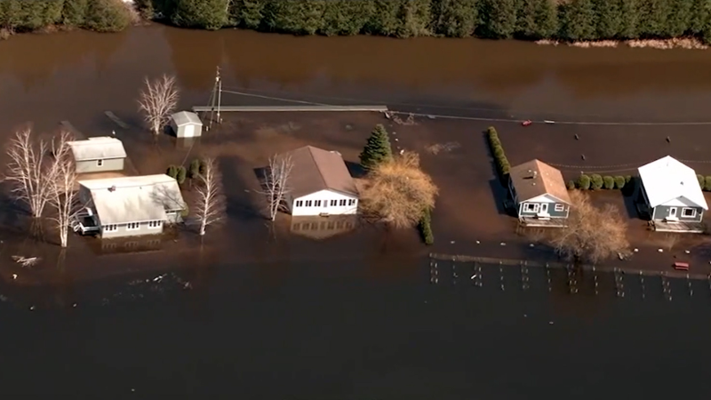
"Amounts in Northern California along the coast and into the mountains with this second storm of 2 to as many as 4 inches will raise the risk for flooding in poor drainage areas, creeks and streams," Houk warned.

Snow will impact the mountains with at least the first two storms and likely more.
"Snow levels in the Klamath Range will accumulate up to 1 foot above 3,500 feet and slow travel on the higher elevations of Interstate 5. Donner Pass, California, on I-80 in the Sierra Nevada, can pick up 6 inches of snow with difficult travel later Wednesday night and Thursday morning," Houk said, "The second system will bring another round of heavy snow. However, snow levels will rise for a time Friday night before lowering again starting Saturday. An additional 1-2 feet will fall in some places that remain all snow from the second storm."
You may have heard of a storm undergoing ‘bombogenesis’. If you’ve also heard of the term ‘bomb cyclone’, they are the same phenomenon. What exactly do they mean?
Following a break from later Saturday to Saturday night, storm number three is forecast to roll in Sunday in the coastal Northwest to Monday morning around San Francisco, which could make for a slow rush hour.
More storms will follow.
"Though the tail end of most of the storms will bring some moisture to Southern California, it looks doubtful that there will be any significant rain from any of them that far south," Houk cautioned.
In November, Northern California had rain and mountain snow near to above the historical average. However, in much of Southern California, rain has been sparse and well below the historical average.

Abnormally dry to moderate drought conditions have been slowly increasing in recent weeks in parts of California and the Southwest.
It may be possible that the caboose in the storm train will be strong enough or tracks far enough to the south to bring significant rain and mountain snow to Southern California before Christmas.
Want next-level safety, ad-free? Unlock advanced, hyperlocal severe weather alerts when you subscribe to Premium+ on the AccuWeather app. AccuWeather Alerts™ are prompted by our expert meteorologists who monitor and analyze dangerous weather risks 24/7 to keep you and your family safer.
Report a Typo


