

Satellite
Water Vapor
Moorpark
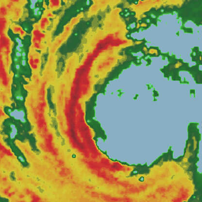
Radar
Current and future radar maps for assessing areas of precipitation, type, and intensity
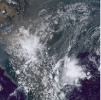
RealVue™ Satellite
See a real view of Earth from space, providing a detailed view of clouds, weather systems, smoke, dust, and fog

Currently Viewing
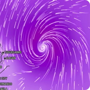
Wind Flow
This interactive map provides a visual representation of wind speed and direction over the next 24 hours
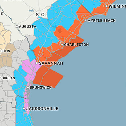
Severe Weather
Currently active global watches and warnings, lightning, and severe weather risk
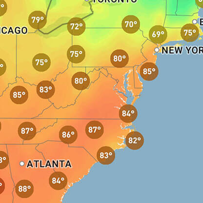
Current Conditions
View live current conditions in and around your area
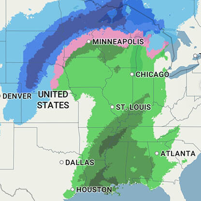
5-Day Precipitation Outlook
Daily forecast map for precipitation
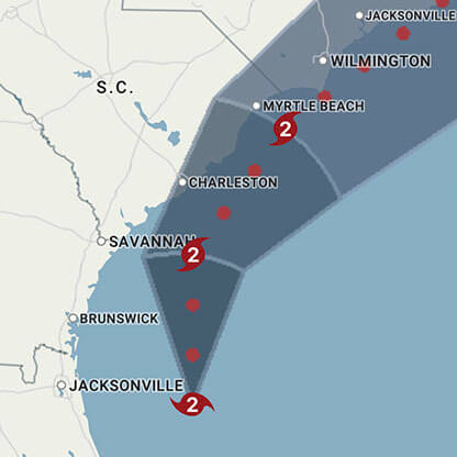
Hurricane
Everything you need for tracking hurricane season
Show more
Show less


