Tropical wind and rainstorm to focus on southeast New England, Nova Scotia
Delayed strengthening of a tropical wind and rainstorm will spare much of the coastal mid-Atlantic from adverse conditions, but stormy conditions are forecast to race through southeastern New England and Nova Scotia.
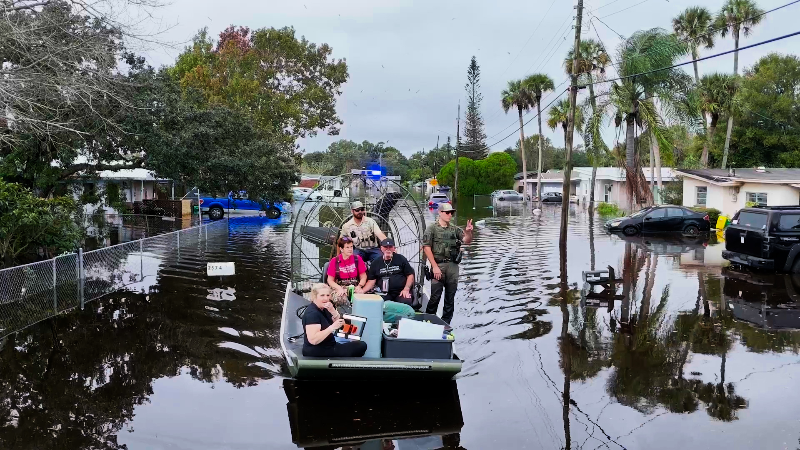
Days of torrential rain and seemingly nonstop flooding have wreaked havoc in Florida this November.
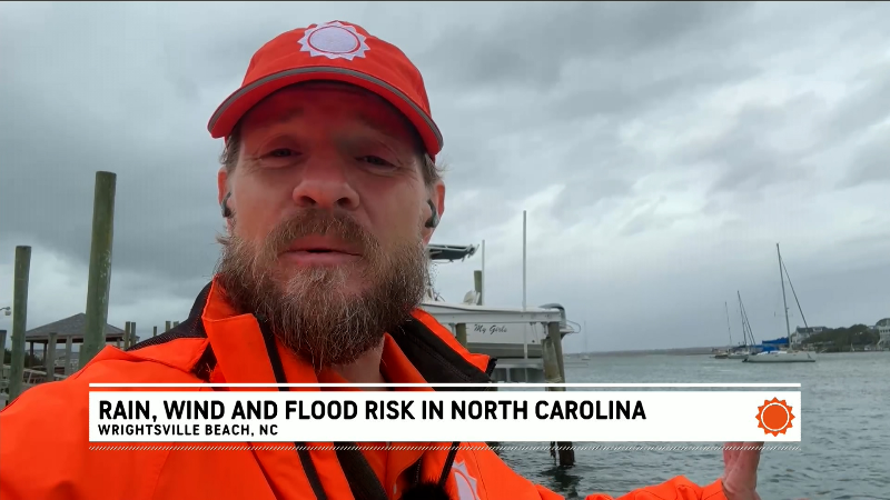
As the forward speed of a tropical wind and rainstorm increases, downpours and locally gusty winds and rough seas will diminish along the Carolina coast into Sunday night. The storm will focus its efforts farther to the northeast into Monday, but the worst will bypass the mid-Atlantic region.
Competing low pressure centers have prevented a single storm from evolving into a tropical depression and a powerful tropical storm. However, the storm will continue to evolve into a wind-and-rain event with significant impacts on southeastern New England Sunday night, then on Nova Scotia and Newfoundland Island on Monday.

Only a few pockets of rain are forecast due to the storm from Virginia to western New England. In these areas, as a cool front moves in from the Midwest, showers will push from west to east across the Appalachians and the Atlantic Seaboard during Sunday night to Monday.
While the storm will behave as a compact nor'easter from this point forward, it still contains tropical moisture and locally intense rainfall can lead to street and highway flooding. Rainfall will ramp up in southeastern New England Sunday night and then Nova Scotia on Monday.

Coastal flooding with the storm in the Northeast is likely to be minor, due to the storm's late intensification and fast movement.
With wind and rain to start the day in Boston on Monday, expect some travel delays for morning rush hour.

It was fog and light winds that caused travel delays around New York City on Sunday morning, thanks to a narrow zone of high pressure that created calm conditions as the atmosphere began to moisten up. This high pressure zone was much larger this past week and was responsible for the latest string of dry, sunny and delightful weather for the middle of November in much of the Central and Eastern states, outside of Florida.
The rainstorm is rated a 1 on the AccuWeather RealImpact™ Scale for Hurricanes in the U.S. due to the heavy rain and flooding that aleady occurred in Florida, and less than 1 in Canada due to upcoming heavy rain and gusty winds.

The AccuWeather RealImpact™ Scale accounts for wind and impacts such as freshwater flooding, storm surge, beach erosion and economic losses. The Saffir-Simpson Hurricane Wind Scale uses a hurricane’s maximum sustained wind speed.
Have the app? Unlock AccuWeather Alerts™ with Premium+
The storm setup brought 5-20 inches of rain to the central and eastern parts of the Florida Peninsula, on top of excessive rain that fell earlier in the month. The rain events have inundated many neighborhoods and in some cases water remains on city streets lapping at the doorsteps of homes and businesses.

A shopping center is encircled by floodwaters after heavy rains in Hollywood, Florida, on Wednesday, Nov. 18, 2026. (AP Photo/Rebecca Blackwell)
Record flooding continues to evolve on a portion of the St. Johns River, with major flooding forecast to continue along the very slow-moving waterway well into 2027.
In the wake of the tropical wind and rainstorm, as it speeds away over Atlantic Canada, and thanks to the front pushing in from the Midwest, a brief period of chilly conditions with lake-effect rain and snow showers will follow from Monday to Tuesday.


Want next-level safety, ad-free? Unlock advanced, hyperlocal severe weather alerts when you subscribe to Premium+ on the AccuWeather app. AccuWeather Alerts™ are prompted by our expert meteorologists who monitor and analyze dangerous weather risks 24/7 to keep you and your family safer.
Report a Typo