Powerful fall storm to bring severe weather, gusty winds to nation's midsection
A cross-country storm will bring a late-season risk for damaging thunderstorms and even tornadoes to a portion of the Plains late this week, AccuWeather meteorologists warn.
A multifaceted storm will track across the country’s midsection later this week with multiple hazards, including severe weather and snow.
A strong storm crossing the country will unleash thunderstorms and howling winds across the Plains on Friday, threatening travel and outdoor activities in the region, according to AccuWeather forecasters.
Damaging winds, hail and even a few tornadoes are among the threats spanning parts of the Midwest into Friday. The combination of a clash of air masses plus a strong storm emerging from the Rockies will be the impetus for a localized risk of dangerous thunderstorms.
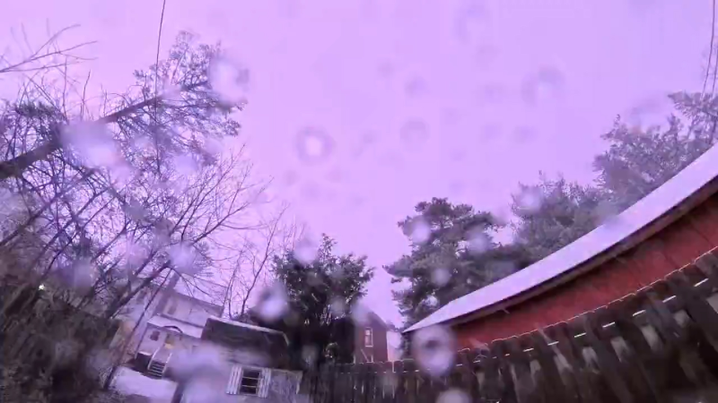
The storm has already produced snow and shocking cold in the Rockies, and it will continue to bring heavy rain and a threat for flooding across parts of the Midwest through Friday night and the Northeast during the weekend.

A late-season threat for severe weather
As the calendar marches deeper into fall, many across the Plains begin to think about cold and wintry conditions, but AccuWeather meteorologists are warning that residents should stay vigilant with this next storm for the threat of some powerful thunderstorms.
"As the storm strengthens in the Plains late this week, it will not only produce rain, but also the potential for severe weather," said AccuWeather Senior Meteorologist Courtney Travis.
Thunderstorms turned severe Wednesday evening and brought localized damaging winds and hail through central Iowa.
Severe thunderstorms again erupted on Thursday afternoon and evening, where AccuWeather forecasters issued a moderate risk for severe weather over a portion of the Missouri Valley, including areas west of Omaha and Kansas City. There was a small cluster of tornado reports in south-central Nebraska. Overall, there were seven reports of tornadoes scattered over the Plains region on Thursday, according to the National Weather Service.
A severe thunderstorm packs wind gusts greater than 58 mph or hail that is at least an inch in diameter.
The impending severe weather setup may continue to spawn a few tornadoes.

Thunderstorms will continue to track east on Friday afternoon and evening. New storms will erupt across parts of the Midwest from near St. Louis to Chicago. The threat, which includes the risk of a few tornadoes will extend westward to central Iowa.
Concern for downpours and gusty winds not just limited to storms
While most thunderstorms will produce heavy rain and strong winds, those threats will not be exclusive to just those storms. A much larger area extending across the Plains and into a portion of the Midwest may experience damaging winds and flooding downpours outside of individual thunderstorms, AccuWeather meteorologists warn.
"Windy conditions are expected to be widespread from the Dakotas and Minnesota to northern Texas and Oklahoma into Friday," said Travis. "With it comes the threat of slowed travel from dangerous crosswinds."

As early as Thursday night, strong winds from the strengthening storm exiting the Rockies blew across the mostly open space of the Plains. Gusts of over 40 mph are likely across nearly the entire central Plains and even extending into the Midwest into Friday. Winds of that magnitude can easily blow around autumn or Halloween decorations and even cause some power outages.
The windiest spot will likely be across a portion of western Kansas, eastern Colorado and southwestern Nebraska, where gusts over 50 mph are possible. The AccuWeather Local StormMax™ for wind is 70 mph. In this region, the winds could imperil larger, high-profile vehicles, such as tractor trailers.
In the fall, storm systems that emerge from the Rockies frequently produce strong winds over a large area, due to their rapid strengthening which produces a tight pressure gradient between approaching low pressure and departing high pressure. It is that difference in pressure that generates the gusty winds.

Another hallmark of these fall storms is an area of heavy rain that forms where the warmer, more moist air collides with colder air attempting to push south from Canada. This will set up in a zone from the northern Plains to the Midwest through Friday night, and comes with pros and cons, according to AccuWeather meteorologists.
"The rain forecast to fall across the nation's heartland late this week should be beneficial to the drought-riddled areas that extend into the Midwest," added Travis. "However, too much rain too quickly could also bring a flash-flooding risk."
One spot where there might be significant runoff and a flash flood risk from heavy rain may be in western South Dakota, near the Black Hills area.
"Some of the streams and tributary rivers of the Missouri in parts of the northern and central High Plains may experience a brief rise in water levels where no drought is in place," AccuWeather Senior Meteorologist Alex Sosnowski said.
The threat for rain and gusty winds outside of thunderstorms will subside by the weekend as a sprawling area of high pressure builds into the region.
Want next-level safety, ad-free? Unlock advanced, hyperlocal severe weather alerts when you subscribe to Premium+ on the AccuWeather app. AccuWeather Alerts™ are prompted by our expert meteorologists who monitor and analyze dangerous weather risks 24/7 to keep you and your family safer.
Report a Typo