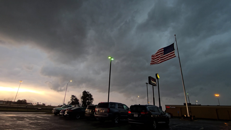
Northeast faces highest severe weather risk in weeks
Severe thunderstorms will bring dangers and the potential for localized flash flooding to the region early next week, but ahead of the storms, the weather will be calm and September-like.
It feels more like September across the Northeast this week, but a surge in warmth and humidity will set the stage for rain before the weekend.
Following a largely dry start to the weekend, a complex storm system will swing through the Northeast on Monday, bringing the highest risk of severe weather that the region has seen in weeks, AccuWeather meteorologists say.
Because much of the region had been rain-free for several days prior to thunderstorms that developed on Friday, widespread flash flooding is unlikely. However, a few suburban and rural communities, such as in portions of eastern New York state, Vermont and New Hampshire, may experience small-stream flooding. Some neighborhoods of the major cities will be at risk for street flooding.
A dry, comfortable weekend awaits
Another delightful weekend is in store in the wake of Friday's thunderstorms.
"The Canadian air coming in for the weekend will not be as cool as that of the start of the week, but temperatures and humidity levels will still be more like early September," AccuWeather Senior Meteorologist Dave Dombek said.

Temperatures will dip into the upper 60s to the lower 70s in the major cities along I-95 and into the 50s over the Appalachians Saturday night.
Daytime highs will range from the upper 70s in Boston to the middle 80s in New York City to the upper 80s around Washington, D.C., on Saturday, about 5 degrees below the historical average for early August.
By Sunday afternoon, temperatures will trend slightly upward from Saturday's levels.
Potent storm to raise severe weather threat level Monday
The start of the new week will bring a renewed threat of severe weather for millions of people across the Northeast.
"An unusually strong storm system will approach the Northeast on Monday, and with that, humidity levels will climb," Dombek said.
The system has the potential to bring an outbreak of severe weather to parts of the Midwest on Sunday, including around Chicago and Detroit. Some incoming and outbound flights to these two Midwest hubs and others could be affected Sunday afternoon and into the night.
"Just as with the storms on Friday, the greatest threat in the Northeast on Monday will be from flash flooding, but all modes of severe weather will be possible, ranging from torrential downpours and large hail to high winds and even a few tornadoes," Dombek said.

AccuWeather meteorologists have outlined an area where a moderate risk of severe weather is likely on Monday from far western New York, southward through western Pennsylvania, much of Ohio and northeastern Kentucky.
Some of the cities that are likely to experience severe weather on Monday include Pittsburgh; Jamestown, New York; and Cleveland and Columbus, Ohio.
The potential for severe weather on Monday extends from the eastern Great Lakes through a large portion of the mid-Atlantic, which is home to close to 40 million people.
While some disruptions to travel and outdoor plans occurred for some in the Northeast due to Friday's thunderstorms, more widespread problems and risks to lives and property are possible on Monday.

The pattern next week will feature frequent showers and thunderstorms, typically every other day or so, across much of the East. Even though it may not rain as much or as often as it did in July, conditions may again pose daily challenges for outdoor plans and travel.
Want next-level safety, ad-free? Unlock advanced, hyperlocal severe weather alerts when you subscribe to Premium+ on the AccuWeather app. AccuWeather Alerts™ are prompted by our expert meteorologists who monitor and analyze dangerous weather risks 24/7 to keep you and your family safer.
Report a Typo


