New severe weather outbreak looms for this week in central US
After severe weather threatens Sunday, conditions may once again turn dangerous for many over the central United States by early this week.
A dangerous tornado swept through parts of Kentucky on May 16 leaving behind a path of complete destruction.
Following a significant and deadly outbreak of severe weather at the end of this past week, a new threat of severe weather and tornadoes will ramp up early this week over a large portion of the central United States, AccuWeather meteorologists warn.
The siege of severe weather early this week will follow a couple more rounds of damaging thunderstorms through Sunday, mainly across the South Central states.
Storms likely to be violent over central US this week
A storm from the Pacific will continue to produce rain and mountain snow in parts of the Western states into Sunday. As this potent system swings east of the Rockies, it will tap into warm and moist air from the Gulf, and that is poised to set off multiple days of severe weather beginning on the Plains on Monday, before spreading into the Mississippi Valley during the middle days of this week.

From Monday afternoon to Monday night, the risk of severe thunderstorms will extend from central Texas to eastern and central South Dakota. A concentration of severe weather is anticipated from central Oklahoma to southeastern Nebraska and into Missouri.
All modes of severe weather, ranging from powerful wind gusts and significant hail to flash flooding and tornadoes, are anticipated.
The metro areas of Dallas, Oklahoma City, Kansas City, Missouri, Topeka and Wichita, Kansas, and Omaha, Nebraska, will be in the severe weather threat zone. AccuWeather meteorologists have pushed the threat of severe weather to a high level for Monday.

On Tuesday, the prime threat of severe weather will pivot eastward several hundred miles. The risk will likely extend from Iowa and Illinois, southward to far northeastern Texas and northern Louisiana and eastward to part of the Appalachians.
A large zone where a higher number of severe thunderstorms is likely will extend across the Ozark Mountains from eastern Missouri and Arkansas to northern Alabama, Tennessee and Kentucky.

Once again, all modes of severe weather are anticipated, with perhaps a greater chance of multiple strong tornadoes centered on Tennessee and Kentucky.

By the middle of this week, the severe weather threat is likely to shift even more to the east to impact parts of the mid-Atlantic and the Southeast.

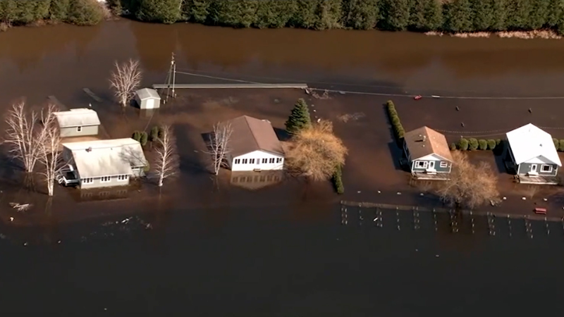
The repeated storms over the region will result in an elevated risk of flooding from portions of northeastern Texas through the Ohio Valley. Meanwhile, areas farther north and west, including the northern Plains, will avoid the severe thunderstorm risk but may still face several days of heavy rainfall that could also lead to flooding.
Want next-level safety, ad-free? Unlock advanced, hyperlocal severe weather alerts when you subscribe to Premium+ on the AccuWeather app. AccuWeather Alerts™ are prompted by our expert meteorologists who monitor and analyze dangerous weather risks 24/7 to keep you and your family safer.
Report a Typo


