Priscilla's moisture to raise flash flood risk in southwestern US
More than a month's worth of rain could fall in a matter of days as tropical moisture streams into the region later this week.
The 12-month period used to measure precipitation totals in the southwestern U.S. runs from Oct. 1 to Sept. 30 of the following year, and there’s a very good reason.
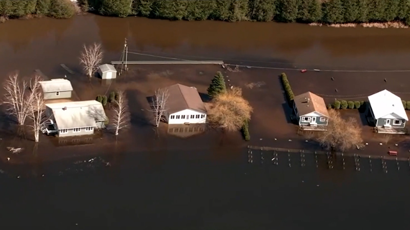
Tropical moisture from a powerful hurricane in the East Pacific basin could unleash more than a month's worth of rain in a matter of days over portions of the Southwest late this week and into the weekend. Depending on the intensity and duration of the rain, localized flash flooding could escalate into a major, widespread flooding situation in parts of Arizona and New Mexico.
Priscilla, a tropical storm as of Wednesday midday, will skirt the coastline of Baja California Sur while gradually losing wind intensity into the end of the week. Gusty winds and locally heavy rain can brush the immediate coastline, but the core of the hurricane is expected to remain offshore.

A dip in the jet stream over the West Coast of the United States will help to pull some of Priscilla's tropical moisture northeastward, aiming widespread showers and thunderstorms at the Four Corners region beginning later this week.
"There is a growing risk that tropical moisture will bring heavy rain and at least some flooding into the Southwest Thursday night into the weekend," AccuWeather Lead Hurricane Expert Alex DaSilva said.
Compounding matters will be another storm that could form off the southern coast of Mexico later this week, likely acquiring the name Raymond. Moisture from this new storm may also be directed northward later in the weekend and early next week.
GET THE FREE ACCUWEATHER APP
•Have the app? Unlock AccuWeather Alerts™ with Premium+
"The next storm that may develop behind Priscilla, and some of Priscilla's moisture, is likely to result in several days of locally heavy showers and thunderstorms," AccuWeather Senior Meteorologist Dan Pydynowski said.
Two to 4 inches of rain can fall across portions of Arizona, Colorado, Utah and New Mexico by the end of the weekend, with an AccuWeather Local StormMax™ of 6 inches. However, should the situate evolve to its full potential, more than a foot of rain could fall on some locations.
The heaviest rainfall will likely occur in higher elevations, where the terrain enhances moisture release from the atmosphere.

The heavy rain will lead to an excess of runoff downstream, resulting in flash flood dangers in desert areas and typically dry riverbeds, known as arroyos. In this kind of terrain, less than an inch of rain in a short period can send a surge of water rushing through arroyos, transforming them into dangerous, fast-moving rivers.
"Flash floods happen very quickly. Since the Southwest doesn't typically get as much rain, it can take only a small amount of rain to cause a flash flood," DaSilva said.

During the entire month of October, Flagstaff's historical average rainfall is around 1.50 inches. During the span of 48 hours or less later this week, the city could double that amount. Many other cities in the Four Corners region, including Phoenix, will also be at risk of picking up more than a month's worth of rain in the span of a few days.
"Any non-flooding rainfall should be beneficial in areas dealing with severe or extreme drought," DaSilva noted.

The heaviest rain may stay south and east of Las Vegas, but pop-up drenching showers and thunderstorms can still occur from Friday to Saturday, resulting in localized flooding.
By early next week, the focal point for the heaviest rain may move into southeastern Arizona and southwestern New Mexico.
Want next-level safety, ad-free? Unlock advanced, hyperlocal severe weather alerts when you subscribe to Premium+ on the AccuWeather app. AccuWeather Alerts™ are prompted by our expert meteorologists who monitor and analyze dangerous weather risks 24/7 to keep you and your family safer.
Report a Typo


