Tropical Storm Jerry to take a swipe at the northern Caribbean
Jerry became the tenth named storm of the 2025 Atlantic hurricane season on Tuesday and is on track to become a hurricane as it nears the northeastern Caribbean islands later in the week.
Jerry is expected to strengthen into a hurricane and bring minor impacts to the Leeward Islands.
A new tropical storm formed in the Atlantic basin on Tuesday and is forecast to strengthen into a hurricane. The northeastern islands of the Caribbean will experience a glancing blow of rain and wind later in the week.
"The tropical wave we've been monitoring across the Atlantic main development region has developed into Tropical Storm Jerry as of Tuesday morning," AccuWeather Lead Hurricane Expert Alex DaSilva said.

AccuWeather classified this area a tropical rainstorm early Tuesday morning and became the first known source to draw a map tracking the path of the storm, due to impending impacts on the northeastern Caribbean. A few hours later, Tropical Storm Jerry had formed.
Jerry was showing clear signs of organization on satellite with clouds, showers and thunderstorms wrapping around the developing center as of midday Tuesday.
"On Wednesday, the circulation remained evident, but the storm was experiencing some combative winds and most of the thunderstorm activity was in the southeastern quadrant of the storm," AccuWeather Senior Meteorologist Alex Sosnowski said. "In the days ahead, thunderstorms will tend to wrap completely around the storm as it strengthens."

This satellite image shows Jerry as a tropical storm (center) 395 miles east-southeast of the Leeward Islands on Thursday morning, Oct. 9, 2025. (AccuWeather Enhanced RealVue™ Satellite)
Steering winds will guide Jerry west-northwest and then northwest, taking it very close to the Leeward Islands.
"We expect this storm to pass north of the Leeward Islands, bringing some wind and rain starting late Thursday and continuing into Friday," DaSilva said. However, there was a swath of showers and thunderstorms well ahead of Jerry in the region at midweek. These were not associated with the tropical storm.
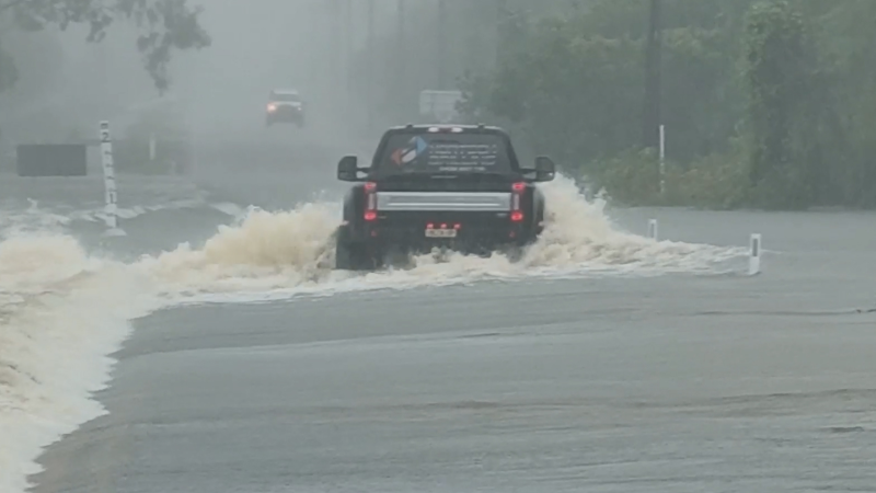
Generally, 1 to 2 inches of rain is expected to fall across portions of the northern Lesser Antilles Thursday into Friday. A more localized area closer to Jerry is expected to yield 2 to 4 inches of rain with an AccuWeather Local StormMax™ of 6 inches, resulting in localized flash flooding and travel disruptions.

Gusty winds will accompany Jerry's closest approach to the islands, generally in the range of 40-60 mph. Tree branches could be knocked down and loose items outdoors may be tossed around if improperly secured.
Due to locally heavy rain and gusty winds, Jerry is a less than one on the AccuWeather RealImpact™ Scale for Hurricanes for the Lesser Antilles.

Only if Jerry is slower to turn to the northwest would stronger winds impact the Leeward Islands and increase the risk of damage.
"Beyond the Caribbean, a dip in the jet stream along the east coast of the United States is expected to help guide Jerry to the north and then curve it out to sea," DaSilva said. Jerry is expected to strengthen into the basin's fifth hurricane of the season in the process.
At this time, impacts to Bermuda are not out of the question, but it appears more likely that the storm will pass well to the east of the islands.
Closer to the U.S., AccuWeather hurricane experts are closely monitoring a tropical wind and rainstorm that is expected to take shape off the Southeast coast by the end of the weekend. In the eastern Pacific, Priscilla is expected to send a surge of tropical moisture into the Southwest late this week and into the weekend, enhancing the risk of flash flooding.
Want next-level safety, ad-free? Unlock advanced, hyperlocal severe weather alerts when you subscribe to Premium+ on the AccuWeather app. AccuWeather Alerts™ are prompted by our expert meteorologists who monitor and analyze dangerous weather risks 24/7 to keep you and your family safer.
Report a Typo


