Dreary to Delightful
Monday 8:40 a.m.
A slow-moving low pressure area that drenched parts of Florida and other places in the Southeast was centered over northwestern South Carolina early today, and it will be over central New England by Wednesday. Its output has been spotty, but dramatic. Fort Myers, Fla., had more than 4 inches of rain in the last few days while Tampa (104 miles away) had virtually nothing. The heaviest rain early Monday morning extended from West Virginia to the western Carolinas. This map shows the arrangement and also shows an extensive area of rain extending from Maryland to New England.
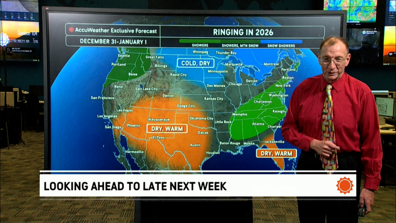
In today's video, we look at how where most of the rain should fall during the next couple of days, then see why we are optimistic about nice weather late in the week and into the weekend in the Northeast and Great Lakes.
Report a Typo


