Multiple fast-moving storms to spread snow, gusty winds across the Midwest and Northeast
Accumulating snow, frigid air and gusty winds will take hold across the Midwest and Northeast as numerous fast-tracking storms move through the region.
In today’s Forecast Feed, AccuWeather’s Bernie Rayno takes a look at the snow and cold threat around the United States.
On the heels of a storm that spread accumulating snow across portions of the Plains and Midwest over the weekend, multiple fast-moving storms will take shape through this week, promoting rounds of accumulating snow, AccuWeather meteorologists say.
These fast-moving storms, also known as Alberta clippers, will race southeastward out of central Canada into the Great Plains, Midwest and portions of the Northeast, spreading snow across the area.

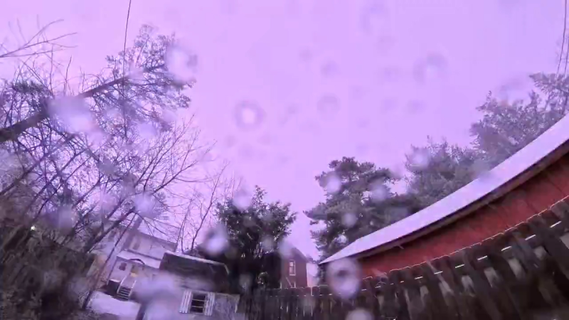
The first clipper will make its way out of southwestern Canada and into the far northern parts of the Plains on Tuesday before reaching the Great Lakes by Tuesday night. Snow will spread on the northern side of the storm, while near and south of the center of the storm, a mix of rain, snow and ice can occur. Individuals are urged to use caution as slippery travel can occur on both sides of the storm.
By Wednesday, the storm will be racing eastward, spreading rain and snow across much of the Northeast. Meanwhile, all snow is expected from Michigan to southeastern Ontario, southern Quebec and into northern New England.
"Within the stripe of snow on the northern side of the storm, a large swath of snow totaling 3-6 inches is expected from northern North Dakota through far northern New York and Vermont," said AccuWeather Meteorologist Peyton Simmers.
Have the app? Unlock AccuWeather Alerts™ with Premium+
Swaths of 6-12 inches are expected across portions of Wisconsin, Michigan and southern Ontario. This is where the AccuWeather Local StormMax™ of 15 inches can occur.

Snow accumulation will depend on the track of the storm. If the storm moves directly over Chicago, a place such as Detroit could end up on the upper end of the forecast range of 1-2 inches. A farther north track would bring warmer air to Minneapolis, Detroit and Buffalo, which would lead to snow struggling to accumulate.
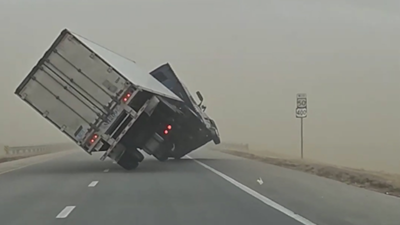
Along with the snow, gusty winds will accompany the storm, raising the risk for blowing snow and power outages. Winds will be strong enough to also down trees and blow around any unsecured objects, including holiday decorations.

A large wind gust area of 40-50 mph is expected from Montana and Wyoming to western Wisconsin and Illinois. Gusts as high as 70 mph can occur in some of the higher elevations in Montana and Wyoming, as well as across a swath from far eastern Montana into South Dakota, with an AccuWeather Local StormMax™ of 100 mph.
As the storm tracks farther east on Wednesday, gusty winds as high as 50 mph will also spread farther east across much of the Ohio Valley and Northeast.
The parade of clippers will continue late week into the weekend, bringing more rounds of accumulating snow from the Plains to the Northeast. The jet stream will dip farther south through the week, helping usher additional clippers farther south than the previous ones, allowing for the potential for accumulating snow and travel disruptions to occur farther south.

Each clipper will also help reinforce chilly air into the Midwest and Northeast. By Friday night, low temperatures will once again plummet to near or subzero across the Midwest. Highs on Saturday in cities like Chicago, Minneapolis and Madison, Wisconsin, may only top out in the single digits, marking a cold start to the upcoming weekend.

"With fresh cold air in place by the weekend, another clipper storm that rolls through may bring a better chance of accumulating snow in coastal areas of the mid-Atlantic and New England," AccuWeather Senior Meteorologist Alex Sosnowski said.
Want next-level safety, ad-free? Unlock advanced, hyperlocal severe weather alerts when you subscribe to Premium+ on the AccuWeather app. AccuWeather Alerts™ are prompted by our expert meteorologists who monitor and analyze dangerous weather risks 24/7 to keep you and your family safer.
Report a Typo


