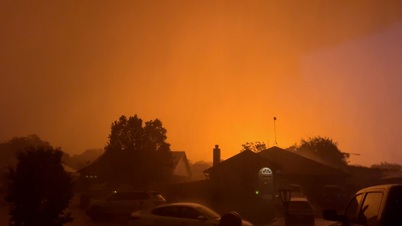
What is a Derecho?
Derechos are often referred to as inland hurricanes due to the hurricanelike conditions, in terms of ferocious wind and torrential rain, which are spawned by this weather phenomenon.
This term refers to a dangerous type of thunderstorm complex that travels along a path of at least 400 miles, according to the Storm Prediction Center (SPC). These violent severe thunderstorm clusters produce widespread and long-lived, straight-line wind damage.
Winds of 58 mph or higher occur in derechos, but gusts may exceed 100 mph, according to the SPC.
Very large hail, widespread flooding and isolated tornadoes can also occur.
"The danger with derechos is that they are not only fast-moving like some tornadoes, but they are widespread, unlike tornadoes," AccuWeather.com Senior Meteorologist Alex Sosnowski said. "They have the potential to do a great deal of damage over a broad area."
Making them even more dangerous, derechos often last well through the night.
"While meteorologists have tools to detect storms including tornadoes and derechos, 24 hours a day, people lose the ability to 'see' severe weather coming at night, other than flashes of lightning," Sosnowski said. "People may sleep through warnings or not hear the storm coming until the last minute."
As derechos unfold, it is important to keep a weather radio nearby to keep aware of severe storm warnings. At night, keep the volume turned up, so you can hear these crucial severe weather warnings.
On June 29, 2012, an infamous derecho slammed a 700-mile swath from the Midwest to the mid-Atlantic. Washington, D.C., was among the cities hit hard by the derecho. Millions of people were without power for a week or more due to the widespread damaging wind gusts, which were higher than 80-90 mph in several communities.
A couple of years prior to the 2012 derecho, another destructive event slammed the Midwest on June 18, 2010. The Chicago area was ransacked by the violent storms. There were 340 wind reports with widespread winds over 70 mph. A couple of tornadoes touched down, and hail up to the size of tennis balls fell from the strongest storms.
Report a Typo


