Tropical downpours to approach Florence-ravaged areas this week
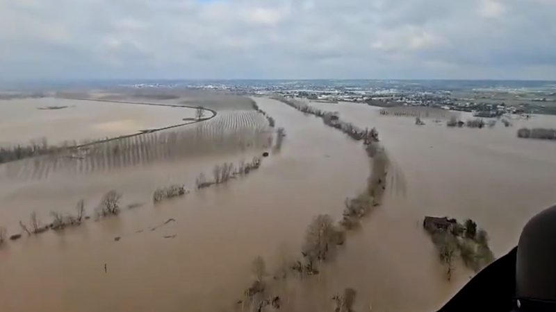
While the weather has largely been sunny, warm and humid across flood-ravaged portions of North and South Carolina, downpours from a tropical feature could cause flash flooding and delay cleanup efforts.
Although heavy rain has been inundating areas over the Mississippi Valley and Appalachians, this moisture will remain well west of Florence-impacted areas in the short term. Instead, a tropical entity is on track to brush the coastal Carolinas.
"The most immediate impacts, regardless of whether the systems is named or not will be rough seas, dangerous rip currents and locally drenching showers and gusty thunderstorms along the North Carolina coast," according to AccuWeather Senior Meteorologist Alex Sosnowski.
A couple of waterspouts and brief tornadoes cannot be ruled out into early Wednesday.
As of Tuesday night, this disturbance was located over 100 miles to the southeast of North Carolina. The feature will continue to track toward the Outer Banks of North Carolina into Wednesday.

Its window for becoming a tropical depression or tropical storm is rather short and generally limited through Thursday.
The next name on the list of tropical storms for the 2018 Atlantic hurricane season is Michael.
The disturbance will travel over warm water and through relatively dry air and low wind shear into Wednesday morning. After that, wind shear is likely to increase.
Wind shear is the increase in wind speed at higher elevation or horizontal distance in the atmosphere. If wind shear is too strong, tropical systems cannot develop or established hurricanes tend to weaken.
According to AccuWeather Senior Expert Meteorologist Dan Kottlowski, the dry air is the main factor that has prevented the system from developing into a tropical system.
Meanwhile, the warm water it's traveling over could help to fuel tropical development. The low wind shear, which is changing wind speed and direction with altitude, can also favor development.
"However, the atmosphere surrounding this system is expected to become more moist and unstable, and this could allow the system to fully develop into a depression or tropical storm within the next day or two," he said.
Since the ground is already saturated, a downpour that would usually pass uneventfully could instead lead to locally disruptive flash flooding. Additionally, trees will topple more easily in windy conditions.
Motorists are urged to obey all closed road signs and take care to avoid driving through flooded roadways, which could be structurally unsafe.
Any equipment or other materials used in yard work and rebuilding efforts will need to be moved indoors or otherwise protected from the rain and gusty winds while projects are put on hold.
"Not enough rain will fall from the tropical feature to have a significant impact on the coastal rivers," Sosnowski said.
"The surge of river water hitting the coastal areas now was produced by feet of rain over a broad area seven to 10 days ago. An inch or two of rain now would not aggravate the river flooding situation, but can certainly cause renewed flash and urban flooding," Sosnowski added.
Places still under flood warnings that could receive additional rainfall this week include the Kenansville, Burgaw, Jacksonville, New Bern and Wilmington regions of southeastern North Carolina.
The Waccamaw River is at an all-time high and is still rising. The Cape Fear River is expected to crest at record levels on Tuesday.
Download the free AccuWeather app to stay up to date on the rainfall forecast and the latest watches and warnings for your area.
AccuWeather estimates that Florence's total economic toll will be between $50-60 billion when considering factors such as damaged homes and cars, as well as lost property, valuables and wages, according to AccuWeather Founder and President Dr. Joel N. Myers.
Report a Typo


