Snow, wintry mix to pose travel hazards in midwestern US through Friday night
A storm will bring a quick but disruptive shot of wintry precipitation from the northern Plains to the Ohio Valley through Friday night.
Moisture wrapping around a system over the central United States will lead to areas of snow and ice on the storm’s northern and western flank, according to AccuWeather Meteorologist Ryan Adamson.
The northern Plains are likely to bear the brunt of the storm in terms of accumulating snowfall and major travel disruptions.
The snow first swept through the Rockies on Thursday night, forcing the closure of Interstate 80 from Laramie to Cheyenne in Wyoming.
Difficult travel will likely spread eastward throughout Friday night.
Any drivers on the road during the height of the storm may run the risk of becoming stranded.

“In parts of South Dakota, 6-12 inches of snow may fall before the snow tapers off during Friday evening,” Adamson said.
Motorists planning to travel through South Dakota along I-90 may want to alter their plans, possibly taking a more northern route to avoid the worst weather conditions.
Adamson added that parts of the northern Plains will experience a bit of ice or rain before accumulating snow commences. This includes along the corridor from North Platte, Nebraska; to Sioux Falls, South Dakota; and Sioux City, Iowa.
During Friday night, the wintry weather will spread eastward, extending along a narrow swath from Cedar Rapids, Iowa, to Rockford and Chicago, Illinois; South Bend, Fort Wayne and near Indianapolis, Indiana; and Dayton and Columbus, Ohio.
A push of warmer air aloft will result in precipitation falling as a mixture of snow, sleet and/or freezing rain along this corridor, as opposed to all snow.
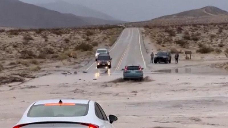
Any snow or ice may initially melt on surfaces given prior mild conditions. However, given that precipitation will fall at night, it will not take long for untreated roads and sidewalks to develop slippery spots.

“While ice amounts are expected to be light, roads may become slick for a time Friday night and early Saturday morning,” Adamson said.
Elevated surfaces, such as bridges and overpasses, will turn icy first.
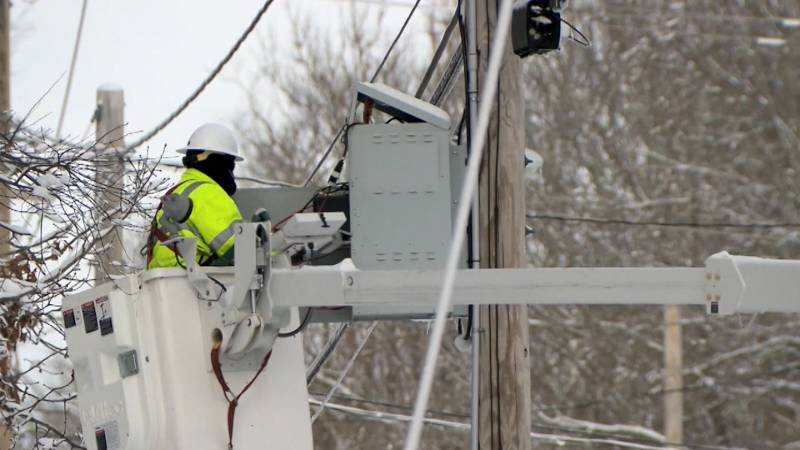
Not enough ice is expected to glaze trees and power lines to raise fears of power outages.
The icy conditions are expected to depart Chicago by the start of the St. Patrick’s Day parade on Saturday, but attendees should use caution on the roads and sidewalks as icy patches may linger during the morning.
The potential for the wintry mix to produce a small accumulation will continue eastward on Saturday.

Areas from north-central Indiana to central and southeastern Ohio to northern West Virginia, western Maryland and northwestern Virginia may experience a mix of snow, sleet and rain on Saturday.
The northern Plains should be on alert for yet another potential for snow during the start of the new week.
Report a Typo


