Reports: Severe storms unleash softball-sized hail in Missouri
As of 3:42 a.m. CDT Sunday, the reports below are no longer being updated.
<hr>
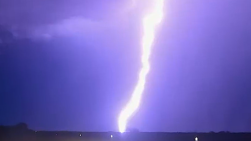
Powerful thunderstorms will continue to cause significant damage as they plow across the central United States into early Sunday morning.
Damaging winds in excess of 70 mph will cause major tree, power line and structural damage. Flooding downpours, very large hail and even a few destructive tornadoes are also anticipated.
Areas that will continue to face damaging thunderstorms include northeast Texas, Arkansas, and northern Mississippi and Alabama.
<img src="http://sirocco.accuweather.com/nx_mosaic_640x480_public/sir/inmasirSC.gif"/>
<hr>
At 2:19 a.m. CDT Sunday, a trained spotter reported dime-sized hail and measured a 78-mph wind gust near Vinemont, Alabama. A line of powerful thunderstorms will continue to press across the northern tier of Alabama towards dawn.
<hr>
As of 12:50 a.m. CDT Sunday, tennis ball-sized hail has been reported in Carthage, Missouri. Law enforcement reports that significant damage has been sustained to vehicles.
<hr>
A 61-mph wind gust was reported at Memphis International Airport in Tennessee. In Millington which is about 20 miles northeast of the city, a tree fell down on a trailer where one person was trapped for a short period, according to the local fire department. The person was rescued but there is no word on whether or not they were injured.
<hr>
At 11:28 p.m. CDT Saturday, a large and extremely dangerous tornado was located near Ringling, Oklahoma, moving east at 20 mph. Trained spotters confirmed the tornado was crossing Highway 90 just north of the town.

<hr>
As of 11:13 p.m. CDT Saturday, over 45,000 Knoxville Utilities Board customers are without power after thunderstorms ripped through the city earlier in the evening.
<hr>
As of 10:40 p.m. CDT Saturday, a confirmed tornado was located 6 miles northwest of Ravia, Oklahoma, moving east at 30 mph. Residents in southwestern Johnston, east-central Carter and southeastern Murray counties need to take cover immediately!
<hr>
Widespread wind damage is being reported in eastern Tennessee after severe thunderstorms ripped through the region on Saturday night. Several large trees have fallen on homes in Maryville and Athens, but so far no injuries have been reported as of 10:25 p.m. CDT.
As the thunderstorms blew through, a wind gust of 56 mph was reported at the Knoxville McGhee Tyson Airport.
<hr>
As of 10:00 p.m. CDT Saturday, a confirmed tornado was located near Davis, Oklahoma, and moving east at 25 mph. Locations that could be potentially impacted by the tornado include Sulphur, Dougherty, Lake of The Arbuckles and Turner Falls.
In addition, a new tornado watch has been issued for portions of eastern Arkansas, western Tennessee and northern Mississippi until 5:00 a.m. CDT Sunday. Thunderstorms will be capable of producing tornadoes, high winds, very large hail and flash flooding well through the early morning hours. Before heading to bed, keep your cell phone on with the volume turned up or have a weather radio handy to receive potentially life-saving severe weather alerts.
<hr>
As of 9:00 p.m. CDT Saturday Ameren reports 18,046 customers are without power in Missouri.

(Image via Ameren)
Areas around Nashville, Tennessee are also experiencing power outages. NES Power reports 1,336 customers are without power.

(Image via NES Power)
<hr>
As of 8:30 p.m. CDT Saturday, severe storms are moving across Tennessee, especially near Morristown, Tennessee. Damaging wind, heavy rain and hail are possible.
<hr>
As of 7:50 p.m. CDT Saturday, possible tornado with rotation may pass between Tishomingo and Mill Creek, Oklahoma.
<hr>
As of 5:20 p.m. CDT Saturday, there is a possible tornado in Keokuk County, Iowa. National Weather Service spotters reported a funnel cloud.
<hr>
As of 5:16 CDT Saturday, a possible tornado is forming along the I-44 corridor from Southwest Missouri into northeast Oklahoma.
<hr>
As of 5:15 p.m. CDT Saturday, the NWS Storm Prediction Center has issued a Particularly Dangerous Situation severe Thunderstorm Watch for portions of southern Illinois, southwest Indiana, western and south-central Kentucky, southeast Missouri and western and middle Tennessee until midnight CDT.
According to the NWS, primary threats include widespread, damaging winds with scattered gusts to 80 mph, scattered, large hail and potential tornadoes.

(Image via NWS)
<hr>
As of 4:20 p.m. CDT Saturday, conditions are favorable for significant tornadoes to develop near northeast Oklahoma and the Kansas border toward northwest Arkansas.
<hr>
As of 3:01 p.m. CDT Saturday, confirmed tornado near Lebanon, Missouri.
Emergency management in Laclede County, Missouri, confirmed reports of damage due to severe weather.
Radar also confirmed debris was lofted from a tornado just north of Twin Bridges, Missouri, as of 3:05 p.m. CDT.
<hr>
As of 1:30 p.m. CDT Saturday, softball-sized hail has been reported south of Garden City, Missouri. Huge hail, larger than four inches, has also been spotted in Adrian, Missouri.

Hail larger than baseballs in Adrian, Missouri. (Instagram/millerkirsti)

Hail from Kirsti Miller in Adrian, Missouri. (Instagram/millerkirsti)

Hail in Adrian, Missouri. (Instagram/mbergman1980)
The National Weather Service has issued a Flash Flood Warning for Northern Cherokee County in southeastern Kansas, Crawford County in southeastern Kansas and Barton County in southwestern Missouri until 5:15 p.m. CDT Saturday.
Two to three inches of rain has already fallen.
<hr>
The severe weather outbreak quickly commenced during the early afternoon hours of Saturday from eastern Kansas to Missouri. Substantial golf ball-sized hail pounded a community south of Topeka, Kansas, according to a National Weather Service spotter.