Experts explain how the weather enterprise issues life-saving tornado warnings
Tornado warnings are issued when twisters are imminent or expected to move into a particular area, on average 8.7 minutes in advance since 2016.
In the past, warnings issued by the National Weather Service (NWS) included entire counties, even though a storm was only likely to affect part of a county.
"Nearly 15 years ago, the National Weather Service (NWS) began to examine potential improvements on the County-Based warning paradigm for tornado, severe thunderstorm, and flash flood threats. In an effort to refine the area and improve the accuracy and of our warning service, the NWS began work on a warning paradigm that was threat storm-based as opposed to county-based," according to Greg Schoor, severe weather program coordinator, NOAA NWS.
"There were a number of anticipated benefits of moving to a 'storm-based' warning paradigm over county-based and much of them fell within the category of warning [fewer] people and a smaller area. There were also anticipated benefits of a reduction in the amount of public sheltering potentially involved with certain warnings, like Tornado Warnings," Schoor said. "Additionally, there was an intended enhanced service provision to Emergency Managers through a more accurate depiction of locations in the warning to assist them in their decision-making."
However, the public and emergency management were not the only considerations. The change was also occurring at a time of rapid change amid a digital society.
"Storm-Based Warnings (SBW) were also developed in order to adapt to a more digital society with a growing capability of many external partners to display graphical information. This effort required development work for the text within a warning message to be able to account for all of the necessary information that would need to be disseminated and parsed by end users," Schoor added. "Parsing of the warning information allows end users to properly display the characteristics of the warning (LAT/LON pairs, type of warning, valid and expiration times, etc.) in graphical formats. The development and testing of these new capabilities were done through a partnership with the private sector and also included the ingesting of warning information into cell phones, pagers, and PDAs."
On Oct. 1, 2007, SBWs became operational nationwide to offer warnings for only the parts of counties in imminent danger.

While government weather warnings provide alerts intended for the public, businesses need to have even more location-specific information to support their critical decisions.
Jonathan Porter, AccuWeather vice president and general manager of business services, said that thousands of companies rely on AccuWeather’s SkyGuard® warning service to provide customized and actionable weather warnings, tailored to a company’s needs and specific to their operations.
Porter said that business users find the unique AccuWeather service “extremely helpful by providing weather warnings only when a legitimate weather threat exists at their pinpoint location."
In addition, subscribers can talk to an AccuWeather expert meteorologist who can provide additional information and analysis to support the best decisions.
“AccuWeather Enterprise Solutions also works with customers to let them know when a threat does not exist for their location(s) to avoid unnecessary downtime and the costs associated with them,” said Porter.
The NWS Storm-Based Warning system introduced 10 years ago takes advantage of refinements in meteorological skill and Doppler radar, as well as more powerful computers and computer software.
While SBWs provide more detailed information on areas at risk for tornadoes, emergency systems to alert to the public are not necessarily able to disseminate information on the same level.
"NOAA Weather Radio (NWR) does ingest and disseminate warnings that set off specially-built receivers even when they are muted and then the text of the warning is read over the airwaves for that particular transmitter. However, the digital capability of SBWs to display on graphical interfaces does not translate to alerting only specific coverage areas of a particular NWR transmitter. NWR uses the same warning product and information but the NWR FM broadcast and Specific Area Message Encoding (SAME) technology (http://www.nws.noaa.gov/nwr/info/nwrsame.html) has inherent limitations on use of the polygon [polygons refer to the area included in a SBW] information," Schoor said.
"Cable television systems that rely strictly on Emergency Alert System (EAS) technology are similarly inherently limited. Private enterprise may have developed new methods of utilizing the SBW polygon information for improved alert distribution over newer and more capable cable and set-top box (STB) technology. All major national cellular carriers and most smaller cellular carriers utilize the SBW polygon information for distribution of Wireless Emergency Alerts (WEA), through FEMA's IPAWS (Integrated Public Alerting & Warning System), to mobile devices including cell phones and smartphones," Schoor explained.
In addition to direct transmission from the NWS, there are other means for getting alerts out to the public, such as the media and/or private weather enterprise.
"The NWS disseminates warning information to the public through a number of means that can also be received and re-broadcast through the media, external web pages and private entities," Schoor said.
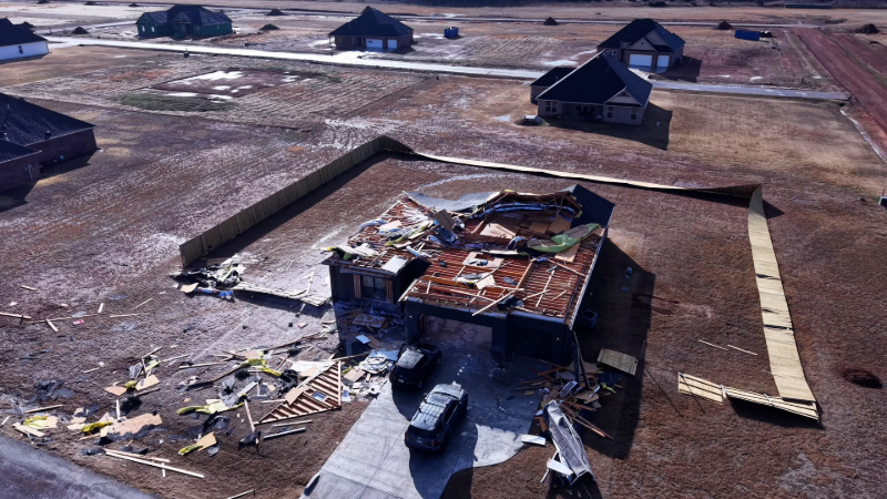
As a case in point, on Sunday, Nov. 5, 2017, an outbreak of severe weather occurred from eastern Missouri to northwestern Pennsylvania and western New York state. During this outbreak, there were approximately 130 incidents of severe weather, which included close to two dozen tornadoes.

Tornado damage in Pennville, Indiana, following Sunday, Nov. 5, 2017, severe weather outbreak. (Photo/NWS/Matt Leach)
At approximately 1:30 p.m. EST, southern Monroe County, Indiana, was placed in a tornado warning until 2:15 p.m. EST by the NWS.
The warning was prompted by rotation as indicated by Doppler radar. This official NWS warning did not include the city of Bloomington, located in the central part of the county, nor the Indiana University (IU) campus, located on the northeastern side of Bloomington.
IU tweeted out a tornado warning to the public.
The potential tornado tracked eastward and did not approach Bloomington, nor IU as accurately predicted by NWS meteorologists.
Cody Kirkpatrick, an atmospheric scientist and educator at the university, responded to the university's tweets and explained that Bloomington was not in imminent danger.
If the NWS issues a watch or warning in Monroe County, IU policy is to pass the information along on social media, according to Chuck Carney, director of media relations and IU spokesperson. Carney added that the policy is partially due to sirens that sound in Bloomington when tornado warnings are in effect in Monroe County.
Carney noted that automated feeds with warning information are disseminated and typed by people who man the social media accounts, in order to avoid crucial information from being cut out of the message.
“I’m certain we’ll take advantage of that [extended characters available on Twitter] to make sure we get out as much information as possible in the future [such as where in the county the warning is in effect],” Carney said.
Following the initial incident, a message was tweeted by IU on Nov. 14, 2017, asking followers to disregard a previous alert message.
Emergency sirens are triggered by local authorities, according to Schoor.
"When an NWS office issues a warning, it is promptly communicated directly to local county/city emergency authorities so they can then make decisions on possible actions they would need to take in terms of resource allocation and/or further public alerting," Schoor said.
"Protocols for triggering tornado/emergency sirens vary from state to state, county to county, and even city to city in some instances and are normally controlled and coordinated through these local authorities," Schoor added. "Private enterprise has developed many varying propriety alerting systems and emergency notifications systems (ENS) for use by emergency management to trigger siren systems, SMS text alerts, and emergency notifications."
AccuWeather instantly delivers government weather warnings from over 50 countries through the AccuWeather iOS and Android mobile applications – available for download at no cost.
AccuWeather Vice President of Forecasting Operations Marshall Moss said, “For the public, AccuWeather shares these warning alerts based upon storm-based warnings – so you only receive notifications relevant to your community and get them as soon as they are issued."
“[For businesses and institutions] with AccuWeather Enterprise Solutions services, we take pride in avoiding confusion such as what apparently occurred in Indiana on Nov. 5 by combining Superior Accuracy™ with relatable, timely, understandable and impact-driven communication to ensure our customers make accurate and timely decisions,” Moss said.
Report a Typo