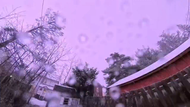
Drenching storms to raise flash flood risk in southern US
Steamy air that has been a staple in the southern United States in recent days will linger, but a break is coming for some locations by way of heavy thunderstorms into this weekend.
It is not uncommon for AccuWeather RealFeel® Temperatures to reach 100 F or higher during the summer in the South and that certainly has been the case in recent days.
With high school sports training camps ramping up as many high-school-age and younger students are returning to school in August, the weather will not be too kind.
Remember to take breaks from the heat and stay hydrated. Avoid strenuous activity from the late morning through the afternoon hours.
This time of the year, strong cool fronts that bring relief to the South are rare.
However, while the passage of a strong cool front is not foreseen, a weaker variety of the same will make some progress over the interior South as the week progresses.
The main roles the front will play will be to bring an uptick in thunderstorms initially, then trim humidity levels and allow slightly cooler nights from the Tennessee Valley to the Appalachians and Piedmont areas later.
Any thunderstorm in the South can be heavy and gusty in the summer by default.
Tuesday's thunderstorms produced numerous wind reports and incidents of flash flooding from Tennessee and North Carolina to the far northern portions of South Carolina, Georgia, Alabama and Mississippi.
They just want to watch too! A spider photobombed NASA's capture of the Perseid's meteor shower as it makes its annual appearance for stargazers across the US.
From Thursday to Friday, and perhaps right through the weekend, the corridor of thunderstorms will settle in the zone from the Gulf coast to part of the southern Atlantic coast.
This means that areas from northern Florida to southeastern Georgia and perhaps the Carolina coast will be at risk for multiple showers and thunderstorms on a daily basis.

The greatest risk from the storms will be for repeating downpours that can lead to flooding problems.
While the storms pose a risk from flooding, pockets of abnormally dry to severe drought conditions exist across the Southeast. As a result, the rain will be beneficial to these areas and any neighborhoods where lawns have turned brown.
Some cities that are likely to get a slight reduction in humidity levels later this week include Atlanta; Nashville, Tennessee; Huntsville, Alabama; Greenville, South Carolina; and Charlotte, North Carolina.
Remote chance of near-coast tropical development
"Sometimes, when fronts stall in the Deep South, over the Gulf of Mexico or the nearby Atlantic, weak disturbances can slowly evolve into a tropical system," according to AccuWeather Hurricane Expert Dan Kottlowski.
Hurricane Barry formed in a somewhat similar setup back in July.
While this is a possibility in this case, the chance appears to be very low, Kottlowski said.
"The earliest something could form in this area would not be until this weekend or early next week," Kottlowski stated.
AccuWeather meteorologists will continue to monitor the situation.
Nonetheless, heavy rain will continue to plague parts of Florida and the Southeast with a continued threat for flooding into early next week.
Otherwise, the Atlantic basin is likely to remain void of organized tropical activity this week.
Download the free AccuWeather app to stay alert of severe weather advisories. Keep checking back for updates on AccuWeather.com and stay tuned to the AccuWeather Network on DirecTV, Frontier and Verizon Fios.


