Bursts of snow to disrupt travel in midwestern, northeastern US
As arctic air blasts eastward, flurries, snow squalls and lake-effect snow will create wintry travel from the Upper Midwest to part of the northeastern United States later this week.
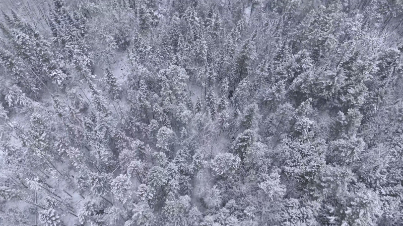
Prior to the arrival of the arctic air and lake-effect snow, pockets of snow will linger in parts of the central and northeastern U.S.
On Wednesday, wind and snow will diminish over North Dakota and northern Minnesota. Snow will exit central and northern New England as the day progresses. Additionally, snow that streaked eastward from Colorado to the central Plains will taper off over the middle Mississippi Valley.

Enough snow will fall to make roads slippery around Denver into Wednesday morning.
The coldest air of the season so far will set off bands of flurries and snow squalls beginning over the Upper Midwest on Wednesday and then the interior Northeast on Thursday.
During the latter part of the week, the lake-effect snow machine will be running at full speed.
Strong winds accompanying the cold air may not only lead to airline delays but could also cause local white-out conditions on area highways.
The I-90 corridor will be the most affected from Indiana to Ohio, Pennsylvania and New York state. Other major highways where motorists could face highly variable weather conditions include portions of I-75, I-79, I-80, I-81 and I-196.

This is the type of setup that will produce shifting bands of lake-effect snow, according to AccuWeather Snow Warning Meteorologist Brian Wimer.
The bands of snow will align with the wind. As the wind shifts from southwest and west to northwest, the lake effect will follow suit.
"The air may already be cold enough for a brief period of lake-effect snow in Buffalo and Watertown, New York, during Wednesday night into Thursday morning," Wimer said. "After that, northwest winds will push the snow bands south of the two cities."
Initially, some roads will be wet. However, as the cold air intensifies the snow will accumulate at a faster pace on area roads.
Motorists should be wary of rapidly changing visibility and traction as the snow showers move across area highways.
"Because of the shifting nature of the snow bands, we may not be looking at many 2- to 3-foot snowfall amounts," Wimer said. "But, many areas near the Great Lakes may receive 1-6 inches of snow with local amounts to a foot in the west and northwest snowbelts."
While the Appalachians will tend to ween out most flurries and snow squalls, there is the chance of both extending toward part of the I-95 corridor on Friday.
Report a Typo