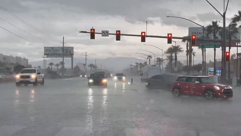
Biggest severe storm outbreak of year so far likely this week for parts of central US
A severe thunderstorm outbreak is likely over the central United States this week with the risk of damaging storms on multiple days in parts of the Plains and Mississippi Valley.
The threat will begin a couple of days after a major warmup begins.
The first thunderstorms may occur late Sunday over the southern High Plains and Rockies.

More storms are likely Monday and Tuesday from parts of the central and northern High Plains to the Upper Midwest.
While these early-week storms are not expected to be widespread, they can bring damaging wind gusts, hail, flash flooding and even isolated tornadoes.

Most storms through Tuesday will tend to occur between 3 p.m. and 9 p.m. local time.

A push of cooler, drier air may sweep in behind the early-week storms over part of the North Central states and southern High Plains. The cool push could protect these areas from more violent storms that may erupt later in the week farther to the south and east.
At this time, the general area of concern for dangerous and damaging thunderstorms, including the possibility of tornadoes, is likely to extend from central Texas to perhaps as far to the north as Nebraska and Iowa, according to AccuWeather Lead Storm Warning Meteorologist Brian Knopick.
"Not everyone in this zone may experience severe weather," Knopick said.
While strong to severe thunderstorms are likely over portions of the Plains states on multiple days, the day with the bulk of severe thunderstorms is likely to be on Wednesday, with the greatest risk of severe weather during the afternoon and evening.

This event is not likely to rank high on the list of the worst severe weather outbreaks in U.S. history for the region. There have been some very violent outbreaks in the past.
However, it has the potential to be the most significant of the year so far in areas that have had a minimal amount severe weather.
All it takes is for one tornado to hit a developed, populated area to threaten lives and property. People should take any advanced alert of severe weather seriously.
Smack in the middle of the severe weather threat area for this week will be Kansas and Oklahoma, which have not yet had their first tornado of the season. On average, the peak months for tornadoes in Kansas, Oklahoma and other Central states are May and June.
While there is the potential for tornadoes from the storms during the middle of the week, more common characteristics from the storms are likely to be damaging wind gusts, large hail and frequent lightning strikes, as well as the potential for isolated flash flooding.
The severe threat may shift to portions of the lower Great Lakes and Mississippi Valley on Thursday.
Whether or not the main severe weather event commences on Wednesday or Thursday over the central and southern Plains will depend on the speed a storm in the upper atmosphere and its associated cool air emerges from the Desert Southwest.
"Timing when upper-level storms roll out from the Southwest can be tricky," according to AccuWeather Chief Meteorologist Elliot Abrams. "A great deal of the forecast during any time of the year ranging from severe weather to snowstorms for the Plains and Mississippi Valley is highly contingent on that timing."
People in the region should continue to monitor forecasts leading up to the event and have a plan of action in place ahead of the storms. AccuWeather meteorologists will continue to study the setup and adjust the timing and severity of the situation as necessary in the days ahead.
Report a Typo


