Lower Mississippi River surging as more rain heads for central US
Long after the rains from early April ceased, flooding is just beginning along part of the lower Mississippi River. More rain will eye some of the same areas hit by flooding and new territory in the days ahead.
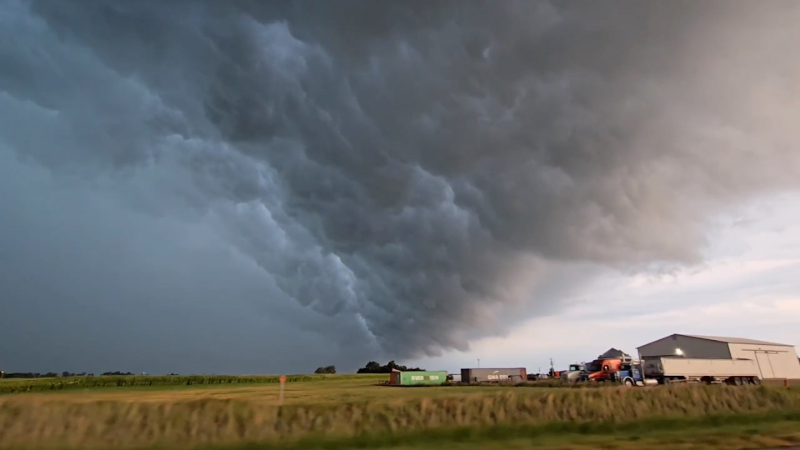
AccuWeather’s Alex Sosnowski warns of an emerging flood risk along the Mississippi River as a storm system is expected bring heavy rain heading into the weekend.
The consequences of four days of torrential rain over the middle of the nation continue this week as the surge of water that began from the Ozark Mountains to the Tennessee and Ohio River basins continues to work downstream on the Mississippi River. AccuWeather meteorologists are also closely watching new rounds of rain for the central United States for possible trouble during the Easter weekend.
An extremely rare setup earlier in April, featuring rounds of thunderstorms and an associated plume of moisture from the Caribbean, unloaded 8-16 inches of rain in 72-96 hours.
The rainfall was so rare that it tends to occur, on average, once every 100 to 1,000 years over such a broad area.

This image shows the rainfall return period due to days of persistent downpours from early April.
Mainly rain-free conditions since the deluge have allowed most small streams and rivers to crest and recede in the middle of the nation. However, the largest rivers in the flat terrain, including the White and St. Frances rivers in Arkansas, were just reaching a crest at major flood stage at midweek. The surge was just now working slowly downstream along the Mississippi River below the Ohio River confluence.

Many locations from the shores of Tennessee and Arkansas to Mississippi and northern and central Louisiana will experience moderate to major flooding in the next week to 10 days as the surge creeps southward along the meandering mass of water.
Water levels were cresting on the Mississippi River at Osceola, Arkansas, at midweek. However, a crest just above major flood stage (40 feet) is not forecast until late this month at Baton Rouge, Louisiana.

The flooding in unprotected areas along the Mississippi can last a couple of weeks in many locations with several days of high water associated with a gradual crest. Unprotected farm lands, roads and ports along the floodplain could be inundated for many days. Even without any additional rain, some fields may remain unworkable for weeks.
While there is good news in terms of rainfall, or lack there of from an extreme standpoint, the days of no rain will come to an end during the extended Easter weekend.

There is a new zone where downpours are forecast to repeat, causing rainfall and runoff to ramp up. That zone is most likely to stretch farther to the northwest than in early April—from parts of central and northeastern Texas to southeastern Oklahoma, northwestern Arkansas, central and southern Missouri, and southern and central Illinois.
Within the new zone of repeating downpours, while likely to bring one-half to one-third of the rain that occurred earlier in the month, there are likely to be incidents of urban and small stream flooding. Rivers such as the Red River of the South, the Arkansas, and the lower portion of the Missouri may experience a significant rise.

Much, but not all, of this zone avoided the flooding disaster that occurred earlier in April. Some heavy rain will again fall on parts of the White River and St. Frances River basins in Arkansas, as well as the Meramec River in Missouri and perhaps the Kaskaskia and Little Wabash rivers in Illinois.
The rounds of downpours will be more progressive to the east and south after the period from Friday to Saturday. As the heavy rain falls on the lower Mississippi basin and the runoff from the new rain later joins in, a second crest may occur on the large waterway—but in most cases, this will be after water levels have already dropped considerably from their high marks produced by heavy rain earlier in the month.

The upcoming rainfall over most of the Ohio, Kentucky and Tennessee basins is forecast to last for a short duration so other than urban and small stream rises, only a few problems are anticipated on the major rivers in this area.


Want next-level safety, ad-free? Unlock advanced, hyperlocal severe weather alerts when you subscribe to Premium+ on the AccuWeather app. AccuWeather Alerts™ are prompted by our expert meteorologists who monitor and analyze dangerous weather risks 24/7 to keep you and your family safer
Report a Typo