Cooler air, moisture to ease Great Plains wildfire threat
Weather conditions across much of the Great Plains will be less conducive for the ignition and rapid spread of wildfires this week, following a volatile and deadly end to February in Texas.
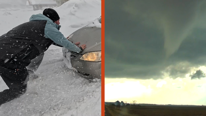
Dr. Reed Timmer, Extreme Meteorologist, recaps some of the key points of the wildfire and discusses an outlook on what to potentially expect next.
Conditions across much of the Great Plains, especially in northwestern Texas and western Oklahoma, will be less conducive for wildfire ignition this week, AccuWeather meteorologists say.
Extremely large and fast-moving wildfires last week triggered loss of life, destroyed property and damaged cattle-grazing lands. One fire in particular, the Smokehouse Creek Fire, rapidly became the largest wildland blaze in Texas' history and the fifth largest on record in the United States.

Drought conditions were not exceptional over much of the region, according to the United States Drought Monitor. In many areas, the soil contained average moisture. The key was the dry vegetation. That, plus extreme warmth, high winds and low humidity were the main ingredients for the rapid spread of fires last week.
Gusts were frequenting 30-50 mph and occasionally higher over much of the southern High Plains around the time when many of the fires broke out, AccuWeather Senior Storm Warning Meteorologist Eddie Walker said.
While the grasslands and other brush remain dry following the winter season, winds are forecast to be more gentle, humidity levels will trend higher and temperatures will be many degrees lower, on average, this week and this weekend.
Common causes of wildfires range from human interaction and carelessness to lightning and downed utility lines.

Temperatures surged well into the 70s and 80s F last week over the southern Plains in the days surrounding the fire breakouts. Within a radius of a couple of hundred miles of the worst fires, temperatures will max out in the 60s to near 70 into Thursday.
Winds will kick up to end this week and into this weekend, but the northerly breezes will bring in even cooler air. Highs are forecast to generally range from the low 50s to the mid-60s in much of northwestern Texas, Oklahoma, northeastern New Mexico, southeastern Colorado and western Kansas.

While the heaviest precipitation will avoid much of the High Plains, patchy periodic rain will fall over parts of the central and southern Plains with spotty snow at times in the northern and central Plains this week.
The next round of warm and windy conditions may evolve early next week. However, the exact intensity of the winds and magnitude of the warmth will depend on the track and strength of the next storm to roll out of the Rockies and onto the Plains.


Want next-level safety, ad-free? Unlock advanced, hyperlocal severe weather alerts when you subscribe to Premium+ on the AccuWeather app. AccuWeather Alerts™ are prompted by our expert meteorologists who monitor and analyze dangerous weather risks 24/7 to keep you and your family safer.
Report a Typo