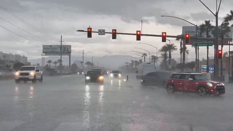
California to get yet another storm with rain, mountain snow this week
A final storm in a wet stretch will deliver rain and mountain snow to California this week before a welcome break in the weather arrives for the week of Thanksgiving.
Yet another storm will seep into California from the Pacific on Nov. 19.
Another Pacific storm pushing south across California this week will bring more rain, mountain snow and travel delays, AccuWeather meteorologists say. This will be the final storm in a series that has delivered months’ worth of rain to parts of the state.
"The heaviest rainfall from this storm will focus on Southern California, where most areas can expect 0.50 to 1 inch of rain, with locally higher amounts in the mountains,” AccuWeather Chief On-Air Meteorologist Bernie Rayno said.
Rain and mountain snow will fall across much of the state. While it won’t match the weekend’s blockbuster storm that dumped several inches of rain, the new storm could still cause travel disruptions on highways and at airports.

Due to recent rain, some steep hillsides may already be unstable and more likely to give way when the next wave of rain arrives.
People in San Francisco and Sacramento can expect showers into Thursday, with enough rain to cause minor ponding in low-lying or poorly drained areas. Where leaves cover the pavement, wet conditions can make roads especially slick.
The wettest stretch for Southern California this week is expected to be from Thursday night to Saturday morning, when drenching downpours could trigger localized flash flooding.
In Los Angeles, periods of heavy rain are expected from Thursday afternoon to Thursday night, with rainfall that may be intense enough to slow commutes, cause flooding in low-lying areas and potentially trigger new debris flows. Showers on Friday are expected to depart by the weekend.

In San Diego, the heaviest rain is expected to be during Thursday night. Motorists should allow extra time for the Thursday evening and Friday morning commutes. Showers may persist until midday Saturday.
In terms of snow for the higher elevations, slippery travel is anticipated over Donner Pass, California, along Interstate 80 in the Sierra Nevada from later Wednesday night to Thursday morning. Although heavy snow isn’t expected at the pass level, enough will fall to make the summit slick and slushy, requiring road treatment by crews.

Farther south, snow levels will drop low enough for several inches to accumulate on the ridges and peaks of Southern California during the late-week storm. A few snowflakes may mix in over Cajon and Tejon passes, but roads are expected to remain wet. Fog and gusty winds could still reduce visibility and make driving difficult on the summits.
In the wake of the storm, a period of offshore winds is likely to develop from Friday to Saturday. "A moderate Santa Ana event is likely, but because of the recent rainfall, the wildfire danger that typically accompanies the dry, gusty winds will be minimal this time," AccuWeather Senior Meteorologist Dave Houk said.

A much-needed break from the storms will spread from north to south across California late this week and into the weekend, bringing an extended stretch of dry weather.
Aside from a few showers in the far north and northwest, most of California should stay dry from Sunday through Thanksgiving Day.

As of Nov. 18, downtown Los Angeles has received 3.48 inches of rain — about nine times the typical 0.78 of an inch for the month of November. Meanwhile, Santa Barbara has measured 8.42 inches, which is over six times its usual rainfall for the month. Farther north in Sacramento, rainfall has been almost four times that.
Want next-level safety, ad-free? Unlock advanced, hyperlocal severe weather alerts when you subscribe to Premium+ on the AccuWeather app. AccuWeather Alerts™ are prompted by our expert meteorologists who monitor and analyze dangerous weather risks 24/7 to keep you and your family safer.
Report a Typo


